Earthquake 37 km W of Clear, Alaska
Tue, 27 Jan 2026 05:33:33 GMT
Time6 hours ago
Location
64.2550, -149.9650
Depth
1.4 KM
Event Summary
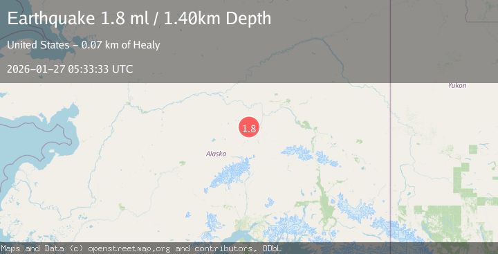
A 1.8 magnitude earthquake struck on 37 km W of Clear, Alaska, at Tue, 27 Jan 2026 05:33:33 GMT. Depth: 1.4km. Reviewed by USGS seismologists, this minor quake occurred at a magnitude type of ml.
Magnitude
1.8
ml
Source
USGS
Intensity
-
Agency Reports
1 Sources| Source | Magnitude | Depth | Time |
|---|---|---|---|
| USGSPrimary | 1.8 | 1 km | 6 hours ago |
Earthquake Details
AutomaticEvent IDusgs_ak2026bwdyin
Tsunami PotentialNo
Magnitude Typeml
Nearest Places
- Totek Hills2.9 km
- Sushana River10.9 km
- Comma Lake11.0 km
- Fossil Creek15.1 km
- Dune Lake18.8 km
Comments
Join the discussion about this event.
Latest Earthquakes
3.7Mag
VALPARAISO, CHILE
Time6 minutes ago
Depth27.60 km
SourceCSN (Automatic)
2.0Mag
CENTRAL TURKEY
Time9 minutes ago
Depth23.50 km
SourceKOERI (Automatic)
3.2Mag
OFFSHORE EL SALVADOR
Time10 minutes ago
Depth28.00 km
SourceINET (Automatic)
3.1Mag
South of Java, Indonesia
Time10 minutes ago
Depth5.01 km
SourceBMKG (Automatic)
2.2Mag
Near North Coast of West Papua
Time13 minutes ago
Depth10.00 km
SourceBMKG (Automatic)
Nearby Earthquakes
1.4Mag
54 km W of Clear, Alaska
Time4 days ago
Depth2.60 km
SourceUSGS (Automatic)
2.2Mag
13 km NW of Ferry, Alaska
Time15 hours ago
Depth139.50 km
SourceUSGS (Automatic)
1.3Mag
12 km SSE of Nenana, Alaska
Time12 hours ago
Depth1.80 km
SourceUSGS (Automatic)
2.6Mag
17 km ENE of Ferry, Alaska
Time6 days ago
Depth5.00 km
SourceUSGS
2.2Mag
8 km N of Four Mile Road, Alaska
Time1 day ago
Depth19.90 km
SourceUSGS (Automatic)