Earthquake Flores Sea
Tue, 27 Jan 2026 17:26:22 GMT
Time3 hours ago
Location
-7.7478, 118.5549
Depth
17.3 KM
Event Summary
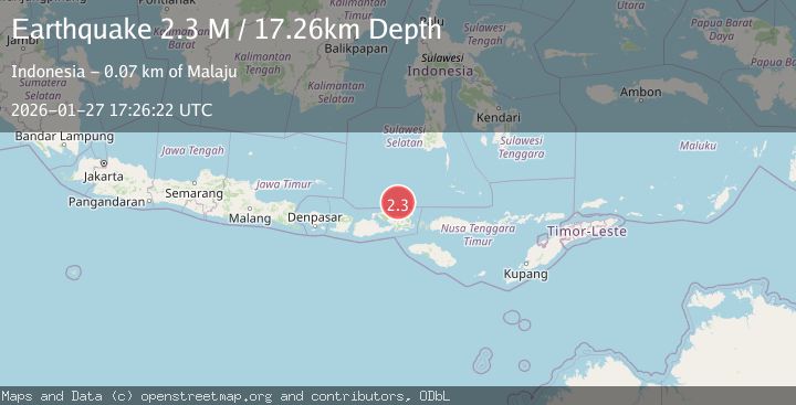
A 2.3 magnitude earthquake struck on Flores Sea, at Tue, 27 Jan 2026 17:26:22 GMT. Depth: 17.256721km. Reviewed by BMKG seismologists, this minor quake occurred at a magnitude type of M.
Magnitude
2.3
M
Source
BMKG
Intensity
-
Agency Reports
1 Sources| Source | Magnitude | Depth | Time |
|---|---|---|---|
| BMKGPrimary | 2.3 | 17 km | 3 hours ago |
Earthquake Details
AutomaticEvent IDbmg2026bwvp
Tsunami PotentialNo
Magnitude TypeM
Nearest Places
- Tanjung Batu Besar56.2 km
- Palangga56.4 km
- Sori Luwa56.6 km
- Tanjung Juli56.7 km
- Toro Lampene57.1 km
Comments
Join the discussion about this event.
Latest Earthquakes
0.7Mag
10 km WNW of The Geysers, CA
Time3 hours ago
Depth1.35 km
SourceUSGS (Automatic)
2.1Mag
Java, Indonesia
Time3 hours ago
Depth105.98 km
SourceBMKG (Automatic)
3.6Mag
Minahassa Peninsula, Sulawesi
Time3 hours ago
Depth10.00 km
SourceBMKG (Automatic)
2.4Mag
Bali Region, Indonesia
Time3 hours ago
Depth110.29 km
SourceBMKG (Automatic)
5.4Mag
Mindanao, Philippines
Time3 hours ago
Depth10.00 km
SourceBMKG (Automatic)
Nearby Earthquakes
2.3Mag
Flores Sea
Time3 days ago
Depth36.93 km
SourceBMKG (Automatic)
2.5Mag
Flores Sea
Time1 day ago
Depth38.21 km
SourceBMKG (Automatic)
2.5Mag
Flores Sea
Time12 hours ago
Depth26.93 km
SourceBMKG (Automatic)
2.5Mag
Flores Sea
Time23 hours ago
Depth21.75 km
SourceBMKG (Automatic)
2.5Mag
Flores Sea
Time5 days ago
Depth25.83 km
SourceBMKG (Automatic)