Earthquake West Papua Region, Indonesia
Tue, 27 Jan 2026 23:50:05 GMT
Time1 hour ago
Location
-1.3185, 131.9845
Depth
10.0 KM
Event Summary
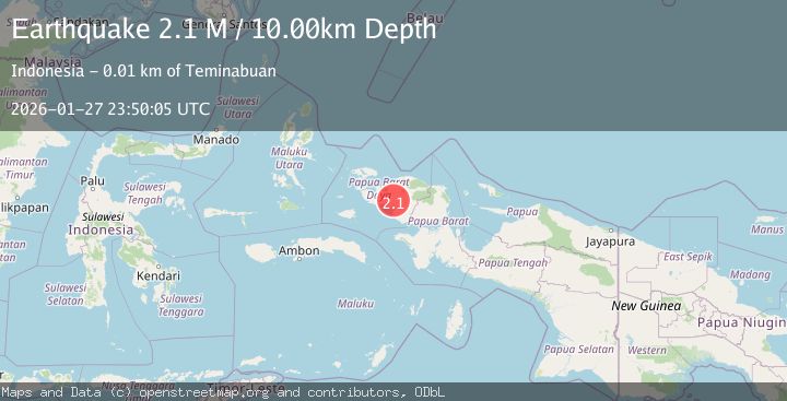
A 2.1 magnitude earthquake struck on West Papua Region, Indonesia, at Tue, 27 Jan 2026 23:50:05 GMT. Depth: 10km. Reviewed by BMKG seismologists, this minor quake occurred at a magnitude type of M.
Magnitude
2.1
M
Source
BMKG
Intensity
-
Agency Reports
1 Sources| Source | Magnitude | Depth | Time |
|---|---|---|---|
| BMKGPrimary | 2.1 | 10 km | 1 hour ago |
Earthquake Details
AutomaticEvent IDbmg2026bxig
Tsunami PotentialNo
Magnitude TypeM
Nearest Places
- Kampung Sbir2.9 km
- Bormalik Hills3.0 km
- Kampung Sawiat4.3 km
- Kampung Haha5.5 km
- Distrik Sawiat5.8 km
Comments
Join the discussion about this event.
Latest Earthquakes
3.9Mag
SAN JUAN, ARGENTINA
Time1 hour ago
Depth138.70 km
SourceCSN (Automatic)
1.6Mag
1 km WSW of Pittsburg, CA
Time1 hour ago
Depth15.89 km
SourceUSGS (Automatic)
3.5Mag
TARAPACA, CHILE
Time2 hours ago
Depth54.30 km
SourceCSN (Automatic)
3.3Mag
STRAIT OF GIBRALTAR
Time2 hours ago
Depth24.40 km
SourceIGN (Automatic)
1.5Mag
10 km W of Pine Valley, CA
Time2 hours ago
Depth17.28 km
SourceUSGS (Automatic)
Nearby Earthquakes
2.6Mag
West Papua Region, Indonesia
Time6 days ago
Depth10.00 km
SourceBMKG (Automatic)
2.2Mag
West Papua Region, Indonesia
Time4 days ago
Depth10.00 km
SourceBMKG (Automatic)
2.3Mag
West Papua Region, Indonesia
Time1 day ago
Depth10.00 km
SourceBMKG (Automatic)
2.2Mag
West Papua Region, Indonesia
Time5 days ago
Depth10.00 km
SourceBMKG (Automatic)
2.5Mag
West Papua Region, Indonesia
Time4 days ago
Depth10.00 km
SourceBMKG (Automatic)