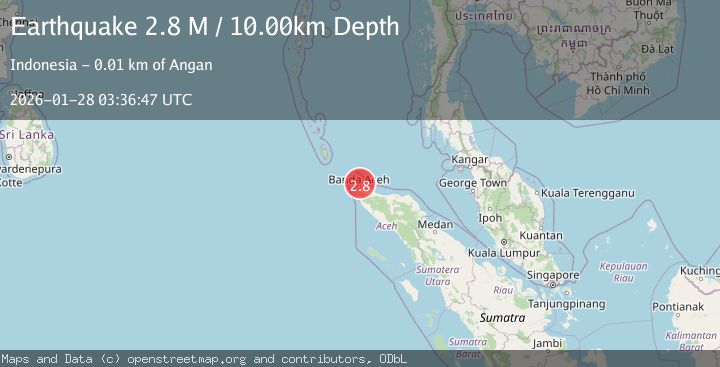
Earthquake Northern Sumatra, Indonesia
Wed, 28 Jan 2026 03:36:47 GMT
Time2 hours ago
Location
5.7411, 95.5927
Depth
9.7 KM
Event Summary
A 2.5 magnitude earthquake struck on Northern Sumatra, Indonesia, at Wed, 28 Jan 2026 03:36:47 GMT. Depth: 9.697606km. Reviewed by BMKG seismologists, this minor quake occurred at a magnitude type of M.
Magnitude
2.5
M
Source
BMKG
Intensity
-
Agency Reports
1 Sources| Source | Magnitude | Depth | Time |
|---|---|---|---|
| BMKGPrimary | 2.5 | 10 km | 2 hours ago |
Earthquake Details
AutomaticEvent IDbmg2026bxpt
Tsunami PotentialNo
Magnitude TypeM
Nearest Places
- Ujung Batee Puteh13.0 km
- Alue U13.4 km
- Krueng Blang Ulam13.7 km
- Kuala Buge13.8 km
- Alue Blang Ulam13.9 km
Comments
Join the discussion about this event.
Latest Earthquakes
3.6Mag
3 km W of Point Possession, Alaska
Time2 hours ago
Depth66.80 km
SourceUSGS (Automatic)
1.9Mag
57 km E of Pedro Bay, Alaska
Time2 hours ago
Depth116.30 km
SourceUSGS (Automatic)
3.4Mag
Minahassa Peninsula, Sulawesi
Time2 hours ago
Depth10.00 km
SourceBMKG (Automatic)
1.9Mag
9 km S of Midland, Texas
Time2 hours ago
Depth4.13 km
SourceUSGS (Automatic)
5.2Mag
Mindanao, Philippines
Time2 hours ago
Depth22.81 km
SourceBMKG (Automatic)
Nearby Earthquakes
2.4Mag
Northern Sumatra, Indonesia
Time1 day ago
Depth7.88 km
SourceBMKG (Automatic)
2.7Mag
Northern Sumatra, Indonesia
Time6 days ago
Depth5.57 km
SourceBMKG (Automatic)
2.1Mag
Northern Sumatra, Indonesia
Time4 days ago
Depth4.51 km
SourceBMKG (Automatic)
2.1Mag
Northern Sumatra, Indonesia
Time5 days ago
Depth8.15 km
SourceBMKG (Automatic)
2.6Mag
Northern Sumatra, Indonesia
Time5 days ago
Depth10.00 km
SourceBMKG (Automatic)