Earthquake Northern Molucca Sea
Wed, 28 Jan 2026 04:32:31 GMT
Time2 hours ago
Location
2.7318, 127.4739
Depth
96.3 KM
Event Summary
A 3.0 magnitude earthquake struck on Northern Molucca Sea, at Wed, 28 Jan 2026 04:32:31 GMT. Depth: 96.269424km. Reviewed by BMKG seismologists, this minor quake occurred at a magnitude type of M.
Magnitude
3.0
M
Source
BMKG
Intensity
-
Agency Reports
1 Sources| Source | Magnitude | Depth | Time |
|---|---|---|---|
| BMKGPrimary | 3.0 | 96 km | 2 hours ago |
Earthquake Details
AutomaticEvent IDbmg2026bxro
Tsunami PotentialNo
Magnitude TypeM
Nearest Places
- Pulau Sedeng58.8 km
- Pulau Deherete59.0 km
- Desa Cera60.9 km
- Pulau Takurumagula61.4 km
- Ake Tutuere62.3 km
Comments
Join the discussion about this event.
Latest Earthquakes
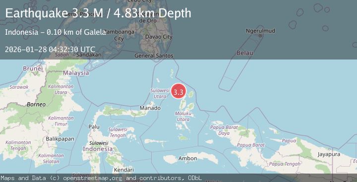
3.3Mag
Minahassa Peninsula, Sulawesi
Time2 hours ago
Depth90.69 km
SourceBMKG (Automatic)
3.1Mag
Java, Indonesia
Time2 hours ago
Depth125.89 km
SourceBMKG (Automatic)
1.3Mag
2 km NW of The Geysers, CA
Time2 hours ago
Depth1.49 km
SourceUSGS (Automatic)
2.2Mag
PUGET SOUND REGION, WASHINGTON
Time2 hours ago
Depth49.40 km
SourceUW (Automatic)
3.1Mag
NEVADA
Time2 hours ago
Depth8.10 km
SourceNN (Automatic)
Nearby Earthquakes
3.0Mag
Northern Molucca Sea
Time2 days ago
Depth100.85 km
SourceBMKG (Automatic)
3.2Mag
Northern Molucca Sea
Time5 days ago
Depth10.37 km
SourceBMKG (Automatic)
3.5Mag
Northern Molucca Sea
Time6 days ago
Depth10.00 km
SourceBMKG (Automatic)
3.2Mag
Halmahera, Indonesia
Time2 days ago
Depth114.35 km
SourceBMKG (Automatic)
3.1Mag
HALMAHERA, INDONESIA
Time3 days ago
Depth186.00 km
SourceBMKG (Automatic)