Earthquake Sunda Strait, Indonesia
Wed, 28 Jan 2026 09:13:56 GMT
Time3 hours ago
Location
-6.8353, 105.0004
Depth
3.9 KM
Event Summary
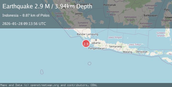
A 2.9 magnitude earthquake struck on Sunda Strait, Indonesia, at Wed, 28 Jan 2026 09:13:56 GMT. Depth: 3.939082km. Reviewed by BMKG seismologists, this minor quake occurred at a magnitude type of M.
Magnitude
2.9
M
Source
BMKG
Intensity
-
Agency Reports
1 Sources| Source | Magnitude | Depth | Time |
|---|---|---|---|
| BMKGPrimary | 2.9 | 4 km | 3 hours ago |
Earthquake Details
AutomaticEvent IDbmg2026byaw
Tsunami PotentialNo
Magnitude TypeM
Nearest Places
- Tanjung Gede24.5 km
- Legon Ramea24.6 km
- Monnik Rocks24.8 km
- Pulau Karangtikukur24.8 km
- Pulau Karangjajar24.9 km
Comments
Join the discussion about this event.
Latest Earthquakes
3.3Mag
COSTA RICA
Time3 hours ago
Depth8.00 km
SourceUNA (Automatic)
2.7Mag
Near North Coast of West Papua
Time3 hours ago
Depth25.99 km
SourceBMKG (Automatic)
1.6Mag
2 km SW of Indios, Puerto Rico
Time3 hours ago
Depth17.39 km
SourceUSGS
3.1Mag
39 km NNW of Toyah, Texas
Time3 hours ago
Depth6.72 km
SourceUSGS (Automatic)
0.6Mag
NORTHERN ITALY
Time3 hours ago
Depth0.00 km
SourceOGS (Automatic)
Nearby Earthquakes
2.5Mag
SUNDA STRAIT, INDONESIA
Time2 days ago
Depth13.00 km
SourceBMKG (Automatic)
2.2Mag
Sunda Strait, Indonesia
Time1 day ago
Depth15.44 km
SourceBMKG (Automatic)
4.8Mag
Java, Indonesia
Time1 day ago
Depth10.00 km
SourceBMKG (Automatic)
4.0Mag
Sunda Strait, Indonesia
Time2 days ago
Depth10.00 km
SourceBMKG (Automatic)
2.7Mag
Southern Sumatra, Indonesia
Time16 hours ago
Depth10.00 km
SourceBMKG (Automatic)