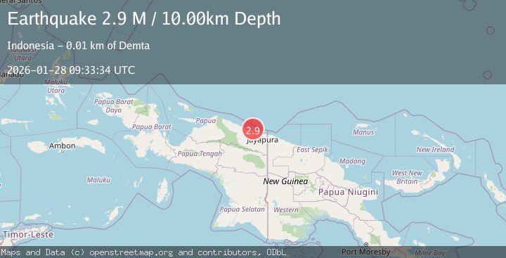
Earthquake Near North Coast of West Papua
Wed, 28 Jan 2026 08:54:14 GMT
Time1 hour ago
Location
-2.9279, 140.0632
Depth
32.9 KM
Event Summary
A 2.7 magnitude earthquake struck on Near North Coast of West Papua, at Wed, 28 Jan 2026 08:54:14 GMT. Depth: 32.938217km. Reviewed by BMKG seismologists, this minor quake occurred at a magnitude type of M.
Magnitude
2.7
M
Source
BMKG
Intensity
-
Agency Reports
1 Sources| Source | Magnitude | Depth | Time |
|---|---|---|---|
| BMKGPrimary | 2.7 | 33 km | 1 hour ago |
Earthquake Details
AutomaticEvent IDbmg2026byag
Tsunami PotentialNo
Magnitude TypeM
Nearest Places
- Kampung Purnama Jati5.5 km
- Kampung Tabbeyan6.8 km
- Kampung Nawa Mulya7.2 km
- Gunung Bebotna7.3 km
- Kabupaten Jayapura10.8 km
Comments
Join the discussion about this event.
Latest Earthquakes
1.9Mag
39 km NNW of Toyah, Texas
Time1 hour ago
Depth6.72 km
SourceUSGS (Automatic)
0.6Mag
NORTHERN ITALY
Time1 hour ago
Depth0.00 km
SourceOGS (Automatic)
2.9Mag
Sumba Region, Indonesia
Time1 hour ago
Depth30.29 km
SourceBMKG (Automatic)
1.5Mag
20 km NNE of Indio, CA
Time1 hour ago
Depth5.17 km
SourceUSGS (Automatic)
2.3Mag
CYPRUS REGION
Time1 hour ago
Depth33.00 km
SourceKOERI (Automatic)
Nearby Earthquakes
2.4Mag
Near North Coast of West Papua
Time3 days ago
Depth10.00 km
SourceBMKG (Automatic)
2.5Mag
West Papua, Indonesia
Time5 days ago
Depth10.00 km
SourceBMKG (Automatic)
3.5Mag
Near North Coast of West Papua
Time2 days ago
Depth9.75 km
SourceBMKG (Automatic)
2.6Mag
West Papua, Indonesia
Time3 days ago
Depth22.39 km
SourceBMKG (Automatic)
2.7Mag
PAPUA, INDONESIA
Time18 hours ago
Depth10.00 km
SourceBMKG (Automatic)