Earthquake West Papua, Indonesia
Thu, 29 Jan 2026 00:37:55 GMT
Time3 hours ago
Location
-3.0581, 140.1140
Depth
42.1 KM
Event Summary
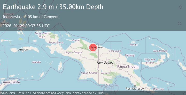
A 2.9 magnitude earthquake struck on West Papua, Indonesia, at Thu, 29 Jan 2026 00:37:55 GMT. Depth: 42.094128km. Reviewed by BMKG seismologists, this minor quake occurred at a magnitude type of M.
Magnitude
2.9
M
Source
BMKG
Intensity
-
Agency Reports
1 Sources| Source | Magnitude | Depth | Time |
|---|---|---|---|
| BMKGPrimary | 2.9 | 35 km | 3 hours ago |
Earthquake Details
AutomaticEvent IDbmg2026bzfi
Tsunami PotentialNo
Magnitude TypeM
Nearest Places
- Sungai Nawa12.7 km
- Kampung Nawa Mukti15.0 km
- Kampung Nawa Mulya15.2 km
- Kampung Lapua15.6 km
- Nawa16.3 km
Comments
Join the discussion about this event.
Latest Earthquakes
1.2Mag
85 km NNW of Karluk, Alaska
Time3 hours ago
Depth5.00 km
SourceUSGS (Automatic)
4.6Mag
Mindanao, Philippines
Time3 hours ago
Depth119.30 km
SourceBMKG (Automatic)
2.4Mag
Java, Indonesia
Time3 hours ago
Depth97.48 km
SourceBMKG (Automatic)
0.9Mag
CENTRAL TURKEY
Time3 hours ago
Depth5.40 km
SourceAFAD (Automatic)
1.0Mag
CENTRAL TURKEY
Time3 hours ago
Depth7.00 km
SourceAFAD (Automatic)
Nearby Earthquakes
2.4Mag
Near North Coast of West Papua
Time4 days ago
Depth10.00 km
SourceBMKG (Automatic)
2.5Mag
West Papua, Indonesia
Time6 days ago
Depth10.00 km
SourceBMKG (Automatic)
2.9Mag
Near North Coast of West Papua
Time19 hours ago
Depth25.99 km
SourceBMKG (Automatic)
2.6Mag
West Papua, Indonesia
Time4 days ago
Depth22.39 km
SourceBMKG (Automatic)
3.5Mag
Near North Coast of West Papua
Time2 days ago
Depth9.75 km
SourceBMKG (Automatic)