Earthquake Sumbawa Region, Indonesia
Thu, 29 Jan 2026 13:22:14 GMT
Time2 hours ago
Location
-8.0102, 117.8106
Depth
14.0 KM
Event Summary
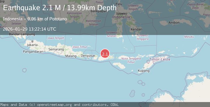
A 2.1 magnitude earthquake struck on Sumbawa Region, Indonesia, at Thu, 29 Jan 2026 13:22:14 GMT. Depth: 13.989602km. Reviewed by BMKG seismologists, this minor quake occurred at a magnitude type of M.
Magnitude
2.1
M
Source
BMKG
Intensity
-
Agency Reports
1 Sources| Source | Magnitude | Depth | Time |
|---|---|---|---|
| BMKGPrimary | 2.1 | 14 km | 2 hours ago |
Earthquake Details
AutomaticEvent IDbmg2026caeo
Tsunami PotentialNo
Magnitude TypeM
Nearest Places
- Satonda Peak12.4 km
- Kuwinda Nae12.6 km
- Sori Jati12.9 km
- Teluk Sonae12.9 km
- Pulau Satonda13.0 km
Comments
Join the discussion about this event.
Latest Earthquakes
3.8Mag
NEAR EAST COAST OF HONSHU, JAPAN
Time2 hours ago
Depth30.00 km
SourceJMA (Automatic)
2.1Mag
CENTRAL CALIFORNIA
Time2 hours ago
Depth5.40 km
SourceNC (Automatic)
2.5Mag
Java, Indonesia
Time2 hours ago
Depth73.80 km
SourceBMKG (Automatic)
2.9Mag
EASTERN TURKEY
Time2 hours ago
Depth5.00 km
SourceKOERI (Automatic)
2.6Mag
Northern Sumatra, Indonesia
Time2 hours ago
Depth5.00 km
SourceBMKG (Automatic)
Nearby Earthquakes
2.2Mag
Sumbawa Region, Indonesia
Time6 days ago
Depth21.46 km
SourceBMKG (Automatic)
2.1Mag
Sumbawa Region, Indonesia
Time4 days ago
Depth14.22 km
SourceBMKG (Automatic)
2.3Mag
Bali Sea
Time2 days ago
Depth13.31 km
SourceBMKG (Automatic)
2.4Mag
Sumbawa Region, Indonesia
Time3 days ago
Depth28.52 km
SourceBMKG (Automatic)
2.1Mag
Bali Sea
Time4 days ago
Depth8.11 km
SourceBMKG (Automatic)