Earthquake Bali Sea
Tue, 27 Jan 2026 15:22:59 GMT
Time1 hour ago
Location
-7.9157, 117.7107
Depth
10.0 KM
Event Summary
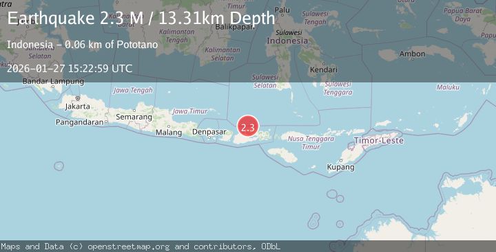
A 2.2 magnitude earthquake struck on Bali Sea, at Tue, 27 Jan 2026 15:22:59 GMT. Depth: 10km. Reviewed by BMKG seismologists, this minor quake occurred at a magnitude type of M.
Magnitude
2.2
M
Source
BMKG
Intensity
-
Agency Reports
1 Sources| Source | Magnitude | Depth | Time |
|---|---|---|---|
| BMKGPrimary | 2.2 | 10 km | 1 hour ago |
Earthquake Details
AutomaticEvent IDbmg2026bwrn
Tsunami PotentialNo
Magnitude TypeM
Nearest Places
- Satonda Peak21.2 km
- Pulau Satonda21.8 km
- Ndano Satonda22.1 km
- Teluk Nanganae25.6 km
- Sori Jati25.6 km
Comments
Join the discussion about this event.
Latest Earthquakes
1.9Mag
97 km S of Kokhanok, Alaska
Time1 hour ago
Depth5.00 km
SourceUSGS (Automatic)
1.5Mag
27 km WNW of Ludlow, CA
Time1 hour ago
Depth2.32 km
SourceUSGS (Automatic)
1.3Mag
52 km S of Glacier View, Alaska
Time1 hour ago
Depth5.00 km
SourceUSGS (Automatic)
0.9Mag
4 km WNW of The Geysers, CA
Time1 hour ago
Depth0.76 km
SourceUSGS (Automatic)
2.8Mag
Minahassa Peninsula, Sulawesi
Time1 hour ago
Depth10.00 km
SourceBMKG (Automatic)
Nearby Earthquakes
2.2Mag
Bali Sea
Time15 hours ago
Depth23.43 km
SourceBMKG (Automatic)
2.1Mag
Bali Sea
Time2 days ago
Depth8.11 km
SourceBMKG (Automatic)
2.4Mag
Bali Sea
Time1 day ago
Depth10.00 km
SourceBMKG (Automatic)
2.2Mag
Sumbawa Region, Indonesia
Time3 days ago
Depth10.00 km
SourceBMKG (Automatic)
2.2Mag
Sumbawa Region, Indonesia
Time4 days ago
Depth21.46 km
SourceBMKG (Automatic)