Earthquake West Papua Region, Indonesia
Thu, 29 Jan 2026 16:47:19 GMT
Time1 hour ago
Location
-3.7065, 135.5649
Depth
14.2 KM
Event Summary
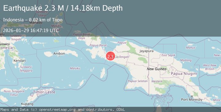
A 2.3 magnitude earthquake struck on West Papua Region, Indonesia, at Thu, 29 Jan 2026 16:47:19 GMT. Depth: 14.178312km. Reviewed by BMKG seismologists, this minor quake occurred at a magnitude type of M.
Magnitude
2.3
M
Source
BMKG
Intensity
-
Agency Reports
1 Sources| Source | Magnitude | Depth | Time |
|---|---|---|---|
| BMKGPrimary | 2.3 | 14 km | 1 hour ago |
Earthquake Details
AutomaticEvent IDbmg2026cali
Tsunami PotentialNo
Magnitude TypeM
Nearest Places
- Kampung Dikiya5.0 km
- Kampung Ogiyai5.8 km
- Kampung Epouwa8.0 km
- Kampung Jigikebo12.6 km
- Kampung Epou12.6 km
Comments
Join the discussion about this event.
Latest Earthquakes
1.3Mag
4 km S of Brawley, CA
Time1 hour ago
Depth5.56 km
SourceUSGS (Automatic)
3.1Mag
South of Java, Indonesia
Time1 hour ago
Depth10.61 km
SourceBMKG (Automatic)
2.0Mag
Seram, Indonesia
Time2 hours ago
Depth0.00 km
SourceBMKG (Automatic)
1.6Mag
21 km ENE of Thousand Palms, CA
Time2 hours ago
Depth1.84 km
SourceUSGS (Automatic)
3.5Mag
CRETE, GREECE
Time2 hours ago
Depth5.00 km
SourceTHE (Automatic)
Nearby Earthquakes
2.5Mag
PAPUA, INDONESIA
Time1 day ago
Depth31.00 km
SourceBMKG (Automatic)
2.4Mag
West Papua Region, Indonesia
Time1 week ago
Depth7.00 km
SourceBMKG (Automatic)
2.0Mag
West Papua Region, Indonesia
Time4 days ago
Depth10.00 km
SourceBMKG (Automatic)
3.4Mag
West Papua Region, Indonesia
Time2 days ago
Depth26.26 km
SourceBMKG (Automatic)
2.6Mag
PAPUA, INDONESIA
Time2 days ago
Depth10.00 km
SourceBMKG (Automatic)