Earthquake Minahassa Peninsula, Sulawesi
Fri, 30 Jan 2026 12:06:05 GMT
Time1 hour ago
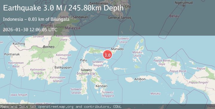
Location
0.2752, 123.4288
Depth
247.5 KM
Event Summary
A 2.9 magnitude earthquake struck on Minahassa Peninsula, Sulawesi, at Fri, 30 Jan 2026 12:06:05 GMT. Depth: 247.483505km. Reviewed by BMKG seismologists, this minor quake occurred at a magnitude type of M.
Magnitude
2.9
M
Source
BMKG
Intensity
-
Agency Reports
1 Sources| Source | Magnitude | Depth | Time |
|---|---|---|---|
| BMKGPrimary | 2.9 | 247 km | 1 hour ago |
Earthquake Details
AutomaticEvent IDbmg2026cbxo
Tsunami PotentialNo
Magnitude TypeM
Nearest Places
- Dutula Monano4.3 km
- Dutula Topidaa4.3 km
- Milangolotumba4.5 km
- Tamentao4.6 km
- Monano4.6 km
Comments
Join the discussion about this event.
Latest Earthquakes
2.0Mag
44 km NNW of Valdez, Alaska
Time1 hour ago
Depth23.60 km
SourceUSGS (Automatic)
2.8Mag
23 km W of Akhiok, Alaska
Time1 hour ago
Depth0.60 km
SourceUSGS (Automatic)
2.6Mag
LA RIOJA, ARGENTINA
Time1 hour ago
Depth117.00 km
SourceNSNA (Automatic)
3.4Mag
Northern Sumatra, Indonesia
Time1 hour ago
Depth72.74 km
SourceBMKG (Automatic)
2.6Mag
28 km WNW of Happy Valley, Alaska
Time1 hour ago
Depth76.30 km
SourceUSGS (Automatic)
Nearby Earthquakes
2.9Mag
Minahassa Peninsula, Sulawesi
Time4 days ago
Depth235.33 km
SourceBMKG (Automatic)
3.1Mag
Minahassa Peninsula, Sulawesi
Time1 day ago
Depth13.37 km
SourceBMKG (Automatic)
2.4Mag
Minahassa Peninsula, Sulawesi
Time2 days ago
Depth263.78 km
SourceBMKG (Automatic)
2.9Mag
Minahassa Peninsula, Sulawesi
Time5 days ago
Depth95.96 km
SourceBMKG (Automatic)
2.4Mag
Minahassa Peninsula, Sulawesi
Time5 days ago
Depth131.42 km
SourceBMKG (Automatic)