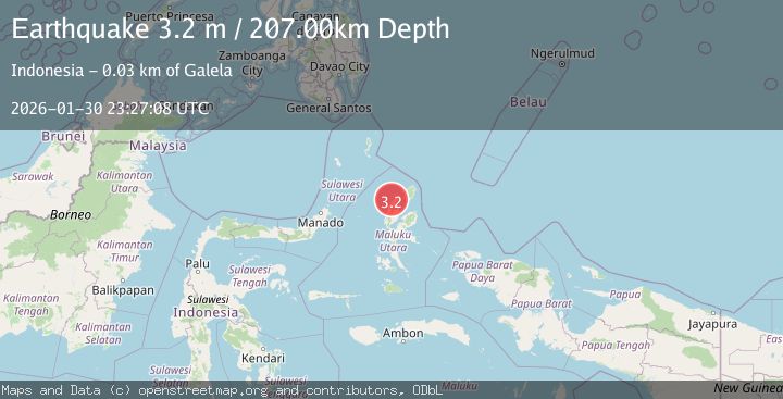
Earthquake Northern Molucca Sea
Fri, 30 Jan 2026 23:27:06 GMT
Time7 hours ago
Location
2.1300, 127.7959
Depth
227.5 KM
Event Summary
A 2.9 magnitude earthquake struck on Northern Molucca Sea, at Fri, 30 Jan 2026 23:27:06 GMT. Depth: 227.486481km. Reviewed by BMKG seismologists, this minor quake occurred at a magnitude type of M.
Magnitude
2.9
M
Source
BMKG
Intensity
-
Agency Reports
1 Sources| Source | Magnitude | Depth | Time |
|---|---|---|---|
| BMKGPrimary | 2.9 | 227 km | 7 hours ago |
Earthquake Details
AutomaticEvent IDbmg2026ccua
Tsunami PotentialNo
Magnitude TypeM
Nearest Places
- Pulau Raharoriha1.1 km
- Tamakumafatu1.2 km
- Gugutinga2.0 km
- Pulau Salangadeke2.5 km
- Desa Tobo-Tobo2.5 km
Comments
Join the discussion about this event.
Latest Earthquakes
1.3Mag
8 km NW of The Geysers, CA
Time7 hours ago
Depth1.64 km
SourceUSGS (Automatic)
1.9Mag
82 km NE of Tonopah, Nevada
Time7 hours ago
Depth2.10 km
SourceUSGS (Automatic)
1.6Mag
18 km NNE of Indio, CA
Time7 hours ago
Depth3.87 km
SourceUSGS (Automatic)
2.9Mag
ASSAM, INDIA
Time7 hours ago
Depth10.00 km
SourceNDI (Automatic)
1.5Mag
10 km WSW of Stanton, Texas
Time7 hours ago
Depth3.52 km
SourceUSGS (Automatic)
Nearby Earthquakes
2.7Mag
HALMAHERA, INDONESIA
Time5 days ago
Depth65.00 km
SourceBMKG (Automatic)
3.2Mag
Halmahera, Indonesia
Time5 days ago
Depth114.35 km
SourceBMKG (Automatic)
2.6Mag
Halmahera, Indonesia
Time1 day ago
Depth121.03 km
SourceBMKG (Automatic)
2.5Mag
Halmahera, Indonesia
Time1 week ago
Depth109.88 km
SourceBMKG (Automatic)
2.5Mag
Halmahera, Indonesia
Time3 days ago
Depth132.87 km
SourceBMKG (Automatic)