Earthquake HALMAHERA, INDONESIA
Mon, 26 Jan 2026 05:38:37 GMT
Time1 day ago
Location
1.9400, 128.1300
Depth
65.0 KM
Event Summary
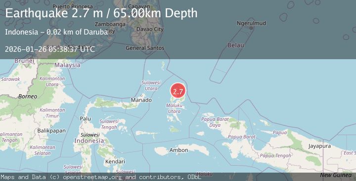
A 2.7 magnitude earthquake struck on HALMAHERA, INDONESIA, at Mon, 26 Jan 2026 05:38:37 GMT. Depth: 65km. Reviewed by BMKG seismologists, this minor quake occurred at a magnitude type of m.
Magnitude
2.7
m
Source
BMKG
Intensity
-
Agency Reports
1 Sources| Source | Magnitude | Depth | Time |
|---|---|---|---|
| BMKGPrimary | 2.7 | 65 km | 1 day ago |
Earthquake Details
AutomaticEvent IDemsc_BMKG_20260126_0000097
Tsunami PotentialNo
Magnitude Typem
Nearest Places
- Momow Reefs7.5 km
- Pulau Mitita11.6 km
- Pulau Kokoya13.5 km
- Tanjung Dehegila15.1 km
- Kolorai15.7 km
Comments
Join the discussion about this event.
Latest Earthquakes
1.2Mag
10 km WSW of Stanton, Texas
Time11 hours ago
Depth3.73 km
SourceUSGS (Automatic)
1.8Mag
37 km W of Clear, Alaska
Time11 hours ago
Depth1.40 km
SourceUSGS (Automatic)
1.8Mag
52 km NNE of Chenega, Alaska
Time11 hours ago
Depth27.90 km
SourceUSGS (Automatic)
1.0Mag
6 km WSW of Anza, CA
Time11 hours ago
Depth4.44 km
SourceUSGS (Automatic)
1.5Mag
36 km WSW of Tonsina, Alaska
Time11 hours ago
Depth41.60 km
SourceUSGS (Automatic)
Nearby Earthquakes
2.5Mag
Halmahera, Indonesia
Time4 days ago
Depth109.88 km
SourceBMKG (Automatic)
3.0Mag
Halmahera, Indonesia
Time2 days ago
Depth42.06 km
SourceBMKG (Automatic)
4.5Mag
Halmahera, Indonesia
Time2 days ago
Depth4.78 km
SourceBMKG (Automatic)
3.5Mag
Halmahera, Indonesia
Time4 days ago
Depth209.55 km
SourceBMKG (Automatic)
3.2Mag
Halmahera, Indonesia
Time1 day ago
Depth114.35 km
SourceBMKG (Automatic)