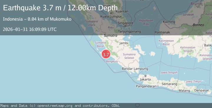
Earthquake Southern Sumatra, Indonesia
Sat, 31 Jan 2026 16:09:09 GMT
Time1 hour ago
Location
-2.9286, 100.9756
Depth
12.1 KM
Event Summary
A 3.7 magnitude earthquake struck on Southern Sumatra, Indonesia, at Sat, 31 Jan 2026 16:09:09 GMT. Depth: 12.095305km. Reviewed by BMKG seismologists, this minor quake occurred at a magnitude type of M.
Magnitude
3.7
M
Source
BMKG
Intensity
-
Agency Reports
1 Sources| Source | Magnitude | Depth | Time |
|---|---|---|---|
| BMKGPrimary | 3.7 | 12 km | 1 hour ago |
Earthquake Details
AutomaticEvent IDbmg2026cebb
Tsunami PotentialNo
Magnitude TypeM
Nearest Places
- Kelurahan Koto Jaya38.9 km
- Sungai Pelakan39.6 km
- Desa Tanah Rekah39.9 km
- Batang Air Selagan40.0 km
- Air Dikit40.2 km
Comments
Join the discussion about this event.
Latest Earthquakes
1.0Mag
22 km ENE of Little Lake, CA
Time1 hour ago
Depth1.48 km
SourceUSGS (Automatic)
3.7Mag
NORTH OF NEW ZEALAND
Time1 hour ago
Depth421.50 km
SourceGNS (Automatic)
2.0Mag
STRAIT OF GIBRALTAR
Time1 hour ago
Depth19.20 km
SourceIGN (Automatic)
3.5Mag
GUATEMALA
Time1 hour ago
Depth158.00 km
SourceINET (Automatic)
2.3Mag
SOUTHERN CALIFORNIA
Time1 hour ago
Depth17.20 km
SourceSCSN (Automatic)
Nearby Earthquakes
3.6Mag
Southern Sumatra, Indonesia
Time1 week ago
Depth11.08 km
SourceBMKG (Automatic)
3.9Mag
Southern Sumatra, Indonesia
Time1 week ago
Depth10.00 km
SourceBMKG (Automatic)
2.8Mag
Southern Sumatra, Indonesia
Time1 day ago
Depth29.81 km
SourceBMKG (Automatic)
2.5Mag
Southern Sumatra, Indonesia
Time5 days ago
Depth15.39 km
SourceBMKG (Automatic)
2.9Mag
Southern Sumatra, Indonesia
Time1 week ago
Depth14.34 km
SourceBMKG (Automatic)