Earthquake Northern Sumatra, Indonesia
Sun, 01 Feb 2026 03:12:31 GMT
Time1 day ago
Location
1.3871, 99.0488
Depth
99.8 KM
Event Summary
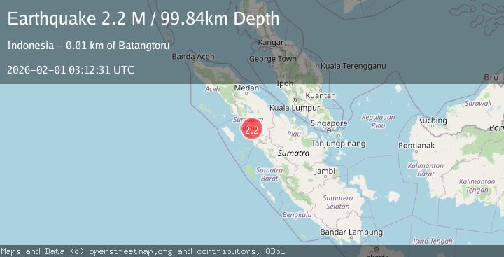
A 2.2 magnitude earthquake struck on Northern Sumatra, Indonesia, at Sun, 01 Feb 2026 03:12:31 GMT. Depth: 99.843361km. Reviewed by BMKG seismologists, this minor quake occurred at a magnitude type of M.
Magnitude
2.2
M
Source
BMKG
Intensity
-
Agency Reports
1 Sources| Source | Magnitude | Depth | Time |
|---|---|---|---|
| BMKGPrimary | 2.2 | 100 km | 1 day ago |
Earthquake Details
AutomaticEvent IDbmg2026cewy
Tsunami PotentialNo
Magnitude TypeM
Nearest Places
- Tigadolok0.9 km
- Dolok Tanggiling na Gadang1.6 km
- Kelurahan Sangkunur1.8 km
- Aek Batu Godang1.9 km
- Hutajawa Julu2.1 km
Comments
Join the discussion about this event.
Latest Earthquakes
2.3Mag
Flores Region, Indonesia
Time20 hours ago
Depth6.13 km
SourceBMKG (Automatic)
1.4Mag
43 km W of Cantwell, Alaska
Time20 hours ago
Depth98.00 km
SourceUSGS (Automatic)
4.0Mag
JUJUY, ARGENTINA
Time20 hours ago
Depth238.70 km
SourceCSN (Automatic)
1.1Mag
31 km NE of Four Mile Road, Alaska
Time20 hours ago
Depth11.60 km
SourceUSGS (Automatic)
2.9Mag
Java, Indonesia
Time20 hours ago
Depth5.00 km
SourceBMKG (Automatic)
Nearby Earthquakes
2.4Mag
Northern Sumatra, Indonesia
Time1 week ago
Depth2.17 km
SourceBMKG (Automatic)
2.3Mag
Northern Sumatra, Indonesia
Time1 week ago
Depth15.30 km
SourceBMKG (Automatic)
3.2Mag
Northern Sumatra, Indonesia
Time1 week ago
Depth8.24 km
SourceBMKG (Automatic)
2.6Mag
Northern Sumatra, Indonesia
Time1 week ago
Depth3.77 km
SourceBMKG (Automatic)
2.7Mag
NORTHERN SUMATRA, INDONESIA
Time1 week ago
Depth130.00 km
SourceBMKG (Automatic)