Earthquake West Papua Region, Indonesia
Sun, 01 Feb 2026 11:32:29 GMT
Time2 weeks ago
Location
-3.1663, 135.4362
Depth
10.0 KM
Event Summary
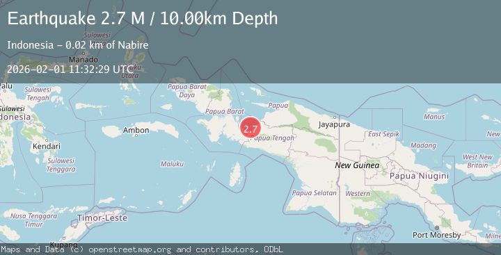
A 2.7 magnitude earthquake struck on West Papua Region, Indonesia, at Sun, 01 Feb 2026 11:32:29 GMT. Depth: 10km. Reviewed by BMKG seismologists, this minor quake occurred at a magnitude type of M.
Magnitude
2.7
M
Source
BMKG
Intensity
-
Agency Reports
1 Sources| Source | Magnitude | Depth | Time |
|---|---|---|---|
| BMKGPrimary | 2.7 | 10 km | 2 weeks ago |
Earthquake Details
AutomaticEvent IDbmg2026cfnl
Tsunami PotentialNo
Magnitude TypeM
Nearest Places
- Pulau Numini13.0 km
- Tanjung Boraitei15.7 km
- Tandjung Pinksteroost17.2 km
- Ujung Kimbo17.3 km
- Teluk Cendrawasih17.3 km
Comments
Join the discussion about this event.
Latest Earthquakes
3.1Mag
SPAIN
Time4 minutes ago
Depth5.00 km
SourceIGN (Automatic)
2.3Mag
Tarapaca, Chile
Time5 minutes ago
Depth115.60 km
SourceVYT (Automatic)
1.2Mag
19 km NNE of Indio, CA
Time8 minutes ago
Depth4.86 km
SourceUSGS (Automatic)
2.5Mag
northwestern Russia
Time10 minutes ago
Depth0.00 km
SourceVYT (Automatic)
1.8Mag
54 km S of Whites City, New Mexico
Time12 minutes ago
Depth6.07 km
SourceUSGS (Automatic)
Nearby Earthquakes
5.6Mag
PAPUA, INDONESIA
Time21 years ago
Depth33.00 km
SourceEMSC (Automatic)
2.3Mag
West Papua Region, Indonesia
Time1 week ago
Depth10.00 km
SourceBMKG
2.5Mag
West Papua Region, Indonesia
Time2 weeks ago
Depth48.56 km
SourceBMKG (Automatic)
4.0Mag
PAPUA, INDONESIA
Time11 months ago
Depth14.00 km
SourceBMKG (Automatic)
2.7Mag
PAPUA, INDONESIA
Time1 month ago
Depth18.00 km
SourceBMKG (Automatic)