Earthquake West Papua Region, Indonesia
Sat, 31 Jan 2026 14:56:59 GMT
Time1 hour ago
Location
-3.2598, 135.3752
Depth
48.6 KM
Event Summary
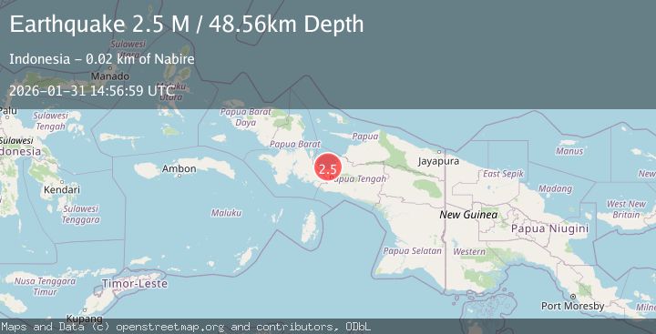
A 2.5 magnitude earthquake struck on West Papua Region, Indonesia, at Sat, 31 Jan 2026 14:56:59 GMT. Depth: 48.560322km. Reviewed by BMKG seismologists, this minor quake occurred at a magnitude type of M.
Magnitude
2.5
M
Source
BMKG
Intensity
-
Agency Reports
1 Sources| Source | Magnitude | Depth | Time |
|---|---|---|---|
| BMKGPrimary | 2.5 | 49 km | 1 hour ago |
Earthquake Details
AutomaticEvent IDbmg2026cdyr
Tsunami PotentialNo
Magnitude TypeM
Nearest Places
- Sungai Bumi12.5 km
- Tanjung Bumi12.8 km
- Wanggar16.1 km
- Sungai Wanggar16.6 km
- Kampung Waroki16.7 km
Comments
Join the discussion about this event.
Latest Earthquakes
0.6Mag
11 km S of Idyllwild, CA
Time1 hour ago
Depth15.10 km
SourceUSGS (Automatic)
2.2Mag
61 km E of Pedro Bay, Alaska
Time1 hour ago
Depth102.90 km
SourceUSGS (Automatic)
3.3Mag
Southwest of Sumatra, Indonesia
Time1 hour ago
Depth10.00 km
SourceBMKG (Automatic)
1.9Mag
WESTERN TURKEY
Time1 hour ago
Depth9.60 km
SourceAFAD (Automatic)
1.3Mag
50 km WNW of Tatitlek, Alaska
Time2 hours ago
Depth22.00 km
SourceUSGS (Automatic)
Nearby Earthquakes
2.3Mag
West Papua Region, Indonesia
Time6 days ago
Depth40.13 km
SourceBMKG (Automatic)
2.7Mag
West Papua Region, Indonesia
Time1 week ago
Depth35.26 km
SourceBMKG (Automatic)
2.1Mag
West Papua Region, Indonesia
Time23 hours ago
Depth22.29 km
SourceBMKG (Automatic)
2.7Mag
West Papua Region, Indonesia
Time3 days ago
Depth14.59 km
SourceBMKG (Automatic)
3.6Mag
West Papua Region, Indonesia
Time1 week ago
Depth10.00 km
SourceBMKG (Automatic)