Earthquake Bali Region, Indonesia
Sun, 01 Feb 2026 13:29:11 GMT
Time4 days ago
Location
-8.4904, 115.6607
Depth
9.0 KM
Event Summary
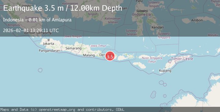
A 3.5 magnitude earthquake struck on Bali Region, Indonesia, at Sun, 01 Feb 2026 13:29:11 GMT. Depth: 8.955515km. Reviewed by BMKG seismologists, this minor quake occurred at a magnitude type of M.
Magnitude
3.5
M
Source
BMKG
Intensity
-
Agency Reports
1 Sources| Source | Magnitude | Depth | Time |
|---|---|---|---|
| BMKGPrimary | 3.5 | 12 km | 4 days ago |
Earthquake Details
AutomaticEvent IDbmg2026cfrh
Tsunami PotentialNo
Magnitude TypeM
Nearest Places
- Pantai Ujung3.8 km
- Tukad Nyuling3.9 km
- Tukad Seraya4.2 km
- Tukad Yehbung4.2 km
- Yeh Elokan4.3 km
Comments
Join the discussion about this event.
Latest Earthquakes
2.3Mag
19 km NNE of Indio, CA
Time10 hours ago
Depth1.89 km
SourceUSGS (Automatic)
1.6Mag
5 km SSE of Home Gardens, CA
Time11 hours ago
Depth2.35 km
SourceUSGS (Automatic)
1.1Mag
59 km SSE of King Salmon, Alaska
Time11 hours ago
Depth7.30 km
SourceUSGS (Automatic)
2.8Mag
EASTERN TURKEY
Time11 hours ago
Depth6.90 km
SourceAFAD (Automatic)
1.8Mag
109 km N of Yakutat, Alaska
Time11 hours ago
Depth7.70 km
SourceUSGS
Nearby Earthquakes
2.2Mag
Bali Region, Indonesia
Time4 days ago
Depth20.84 km
SourceBMKG (Automatic)
2.2Mag
Bali Region, Indonesia
Time1 week ago
Depth84.98 km
SourceBMKG (Automatic)
2.4Mag
Bali Region, Indonesia
Time1 week ago
Depth110.29 km
SourceBMKG (Automatic)
2.1Mag
Sumbawa Region, Indonesia
Time1 week ago
Depth17.97 km
SourceBMKG (Automatic)
2.6Mag
Sumbawa Region, Indonesia
Time1 week ago
Depth92.11 km
SourceBMKG (Automatic)