Earthquake 109 km N of Yakutat, Alaska
Thu, 05 Feb 2026 20:00:40 GMT
Time1 hour ago
Location
60.5150, -140.0160
Depth
7.7 KM
Event Summary
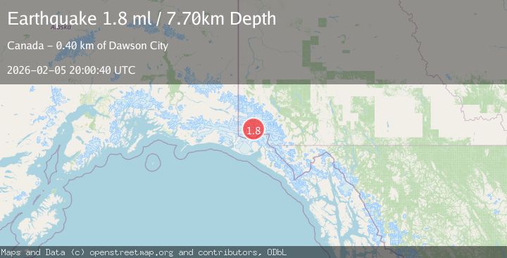
A 1.8 magnitude earthquake struck on 109 km N of Yakutat, Alaska, at Thu, 05 Feb 2026 20:00:40 GMT. Depth: 7.7km. Reviewed by USGS seismologists, this minor quake occurred at a magnitude type of ml.
Magnitude
1.8
ml
Source
USGS
Intensity
-
Agency Reports
1 Sources| Source | Magnitude | Depth | Time |
|---|---|---|---|
| USGSPrimary | 1.8 | 8 km | 1 hour ago |
Earthquake Details
ConfirmedEvent IDusgs_ak2026cnuflv
Tsunami PotentialNo
Magnitude Typeml
Nearest Places
- Marker Lake1.6 km
- Mount King George12.6 km
- McArthur Peak14.8 km
- Mount Queen Mary20.3 km
- Mount Logan22.1 km
Comments
Join the discussion about this event.
Latest Earthquakes
1.1Mag
6 km SSE of Cabazon, CA
Time3 minutes ago
Depth16.43 km
SourceUSGS (Automatic)
1.5Mag
14 km W of Searles Valley, CA
Time13 minutes ago
Depth6.36 km
SourceUSGS (Automatic)
3.8Mag
NEAR COAST OF NORTHERN PERU
Time17 minutes ago
Depth47.00 km
SourceLIM (Automatic)
2.5Mag
26 km ENE of Pleasant Valley, Alaska
Time18 minutes ago
Depth8.50 km
SourceUSGS (Automatic)
2.3Mag
NORTHERN CALIFORNIA
Time24 minutes ago
Depth28.50 km
SourceNC (Automatic)
Nearby Earthquakes
1.8Mag
110 km N of Yakutat, Alaska
Time1 week ago
Depth9.50 km
SourceUSGS
1.8Mag
107 km N of Yakutat, Alaska
Time1 week ago
Depth10.50 km
SourceUSGS
4.4Mag
SOUTHERN YUKON TERRITORY, CANADA
Time1 week ago
Depth5.00 km
SourceAK (Automatic)
3.8Mag
SOUTHERN YUKON TERRITORY, CANADA
Time5 days ago
Depth5.20 km
SourceAK (Automatic)
0.9Mag
88 km NNW of Yakutat, Alaska
Time1 week ago
Depth36.90 km
SourceUSGS (Automatic)