Earthquake Timor Region
Mon, 02 Feb 2026 00:43:05 GMT
Time1 day ago
Location
-8.0467, 126.0458
Depth
125.1 KM
Event Summary
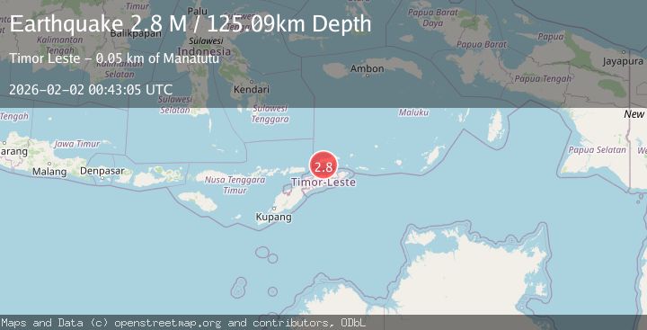
A 2.8 magnitude earthquake struck on Timor Region, at Mon, 02 Feb 2026 00:43:05 GMT. Depth: 125.088112km. Reviewed by BMKG seismologists, this minor quake occurred at a magnitude type of M.
Magnitude
2.8
M
Source
BMKG
Intensity
-
Agency Reports
1 Sources| Source | Magnitude | Depth | Time |
|---|---|---|---|
| BMKGPrimary | 2.8 | 125 km | 1 day ago |
Earthquake Details
AutomaticEvent IDbmg2026cgnn
Tsunami PotentialNo
Magnitude TypeM
Nearest Places
- Aimau15.8 km
- Meta Ilmettang16.4 km
- Hohuai16.6 km
- Limar16.8 km
- Tutun Gung17.7 km
Comments
Join the discussion about this event.
Latest Earthquakes
0.8Mag
7 km WNW of The Geysers, CA
Time5 minutes ago
Depth1.67 km
SourceUSGS (Automatic)
3.0Mag
South of Java, Indonesia
Time7 minutes ago
Depth10.00 km
SourceBMKG (Automatic)
2.3Mag
NEAR THE COAST OF WESTERN TURKEY
Time8 minutes ago
Depth6.80 km
SourceKOERI (Automatic)
1.1Mag
17 km NW of Ocotillo, CA
Time15 minutes ago
Depth11.53 km
SourceUSGS (Automatic)
2.1Mag
Southern Sumatra, Indonesia
Time21 minutes ago
Depth15.65 km
SourceBMKG (Automatic)
Nearby Earthquakes
3.2Mag
Banda Sea
Time1 week ago
Depth342.84 km
SourceBMKG (Automatic)
3.8Mag
Banda Sea
Time1 week ago
Depth424.63 km
SourceBMKG (Automatic)
2.8Mag
Timor Region
Time4 days ago
Depth10.00 km
SourceBMKG (Automatic)
2.0Mag
Timor Region
Time1 week ago
Depth21.90 km
SourceBMKG (Automatic)
2.1Mag
Timor Region
Time3 hours ago
Depth11.36 km
SourceBMKG (Automatic)