Earthquake Southern Sumatra, Indonesia
Tue, 03 Feb 2026 00:42:33 GMT
Time1 hour ago
Location
-5.2663, 104.4095
Depth
15.6 KM
Event Summary
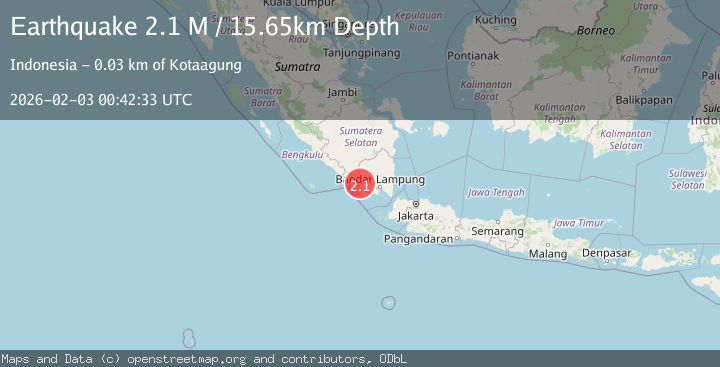
A 2.1 magnitude earthquake struck on Southern Sumatra, Indonesia, at Tue, 03 Feb 2026 00:42:33 GMT. Depth: 15.648429km. Reviewed by BMKG seismologists, this minor quake occurred at a magnitude type of M.
Magnitude
2.1
M
Source
BMKG
Intensity
-
Agency Reports
1 Sources| Source | Magnitude | Depth | Time |
|---|---|---|---|
| BMKGPrimary | 2.1 | 16 km | 1 hour ago |
Earthquake Details
AutomaticEvent IDbmg2026cija
Tsunami PotentialNo
Magnitude TypeM
Nearest Places
- Wai Sekampungtunik1.6 km
- Pematang Holupan2.8 km
- Desa Rejo Sari3.1 km
- Wai Kepawang3.7 km
- Desa Roworejo4.2 km
Comments
Join the discussion about this event.
Latest Earthquakes
3.2Mag
SALTA, ARGENTINA
Time1 hour ago
Depth178.00 km
SourceNSNA (Automatic)
1.6Mag
15 km ESE of Little Lake, CA
Time1 hour ago
Depth6.81 km
SourceUSGS (Automatic)
3.3Mag
SOUTHERN ALASKA
Time2 hours ago
Depth98.60 km
SourceAK (Automatic)
2.0Mag
18 km E of Ferry, Alaska
Time2 hours ago
Depth5.00 km
SourceUSGS (Automatic)
2.5Mag
Flores Region, Indonesia
Time2 hours ago
Depth170.05 km
SourceBMKG (Automatic)
Nearby Earthquakes
3.8Mag
Southern Sumatra, Indonesia
Time4 hours ago
Depth10.00 km
SourceBMKG (Automatic)
2.0Mag
Southern Sumatra, Indonesia
Time4 days ago
Depth10.00 km
SourceBMKG (Automatic)
2.5Mag
Southern Sumatra, Indonesia
Time6 days ago
Depth10.48 km
SourceBMKG (Automatic)
3.0Mag
Southern Sumatra, Indonesia
Time1 day ago
Depth5.00 km
SourceBMKG (Automatic)
2.6Mag
Southern Sumatra, Indonesia
Time4 days ago
Depth18.59 km
SourceBMKG (Automatic)