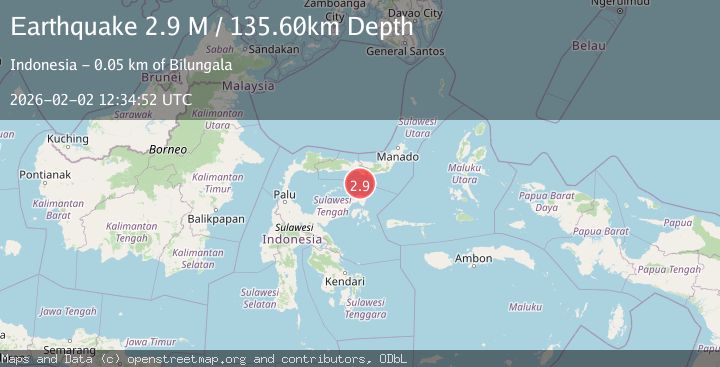
Earthquake Minahassa Peninsula, Sulawesi
Mon, 02 Feb 2026 12:34:50 GMT
Time6 hours ago
Location
-0.1647, 123.5030
Depth
125.2 KM
Event Summary
A 2.8 magnitude earthquake struck on Minahassa Peninsula, Sulawesi, at Mon, 02 Feb 2026 12:34:50 GMT. Depth: 125.182495km. Reviewed by BMKG seismologists, this minor quake occurred at a magnitude type of M.
Magnitude
2.8
M
Source
BMKG
Intensity
-
Agency Reports
1 Sources| Source | Magnitude | Depth | Time |
|---|---|---|---|
| BMKGPrimary | 2.8 | 125 km | 6 hours ago |
Earthquake Details
AutomaticEvent IDbmg2026chkz
Tsunami PotentialNo
Magnitude TypeM
Nearest Places
- Tanjung Potihadu51.7 km
- Pulau Tangkuladi52.5 km
- Pulau Daka52.5 km
- Wulungiyo Sarigaya52.6 km
- Pulau Ampat52.7 km
Comments
Join the discussion about this event.
Latest Earthquakes
1.9Mag
24 km W of Garden City, Texas
Time6 hours ago
Depth1.36 km
SourceUSGS (Automatic)
2.2Mag
Flores Region, Indonesia
Time6 hours ago
Depth10.00 km
SourceBMKG (Automatic)
1.3Mag
SWITZERLAND
Time6 hours ago
Depth4.20 km
SourceETHZ (Automatic)
3.5Mag
Southern Molucca Sea
Time6 hours ago
Depth11.57 km
SourceBMKG (Automatic)
2.6Mag
CENTRAL CALIFORNIA
Time7 hours ago
Depth6.20 km
SourceNC (Automatic)
Nearby Earthquakes
2.8Mag
Minahassa Peninsula, Sulawesi
Time1 week ago
Depth18.33 km
SourceBMKG (Automatic)
2.9Mag
Minahassa Peninsula, Sulawesi
Time1 week ago
Depth95.96 km
SourceBMKG (Automatic)
3.3Mag
Minahassa Peninsula, Sulawesi
Time5 days ago
Depth90.69 km
SourceBMKG (Automatic)
2.4Mag
Minahassa Peninsula, Sulawesi
Time1 week ago
Depth131.42 km
SourceBMKG (Automatic)
2.7Mag
Minahassa Peninsula, Sulawesi
Time5 days ago
Depth10.00 km
SourceBMKG (Automatic)