Earthquake Sumbawa Region, Indonesia
Mon, 02 Feb 2026 17:11:33 GMT
Time6 hours ago
Location
-8.3770, 116.9569
Depth
10.0 KM
Event Summary
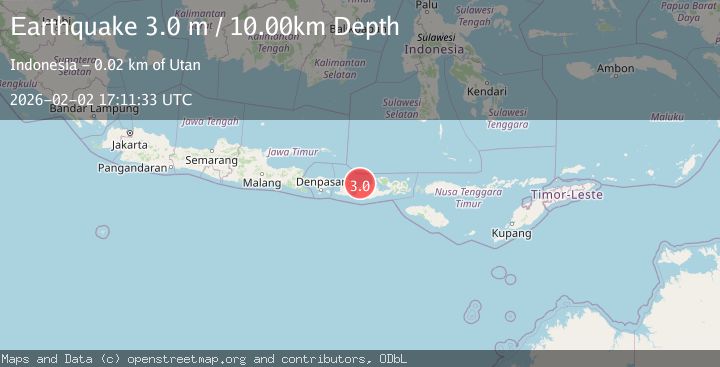
A 3.0 magnitude earthquake struck on Sumbawa Region, Indonesia, at Mon, 02 Feb 2026 17:11:33 GMT. Depth: 10km. Reviewed by BMKG seismologists, this minor quake occurred at a magnitude type of M.
Magnitude
3.0
M
Source
BMKG
Intensity
-
Agency Reports
1 Sources| Source | Magnitude | Depth | Time |
|---|---|---|---|
| BMKGPrimary | 3.0 | 10 km | 6 hours ago |
Earthquake Details
AutomaticEvent IDbmg2026chud
Tsunami PotentialNo
Magnitude TypeM
Nearest Places
- Selat Pajawa6.0 km
- Pulau Saringi7.4 km
- Teluk Ketobo7.5 km
- Teluk Labuhankapal7.6 km
- Teluk Gilikolo7.7 km
Comments
Join the discussion about this event.
Latest Earthquakes
2.1Mag
Banda Sea
Time6 hours ago
Depth15.77 km
SourceBMKG (Automatic)
2.2Mag
Northern Sumatra, Indonesia
Time6 hours ago
Depth5.47 km
SourceBMKG (Automatic)
1.2Mag
13 km E of Mammoth Lakes, CA
Time6 hours ago
Depth7.64 km
SourceUSGS (Automatic)
1.8Mag
17 km S of Tres Pinos, CA
Time6 hours ago
Depth5.59 km
SourceUSGS (Automatic)
1.1Mag
28 km SSW of Ocotillo Wells, CA
Time6 hours ago
Depth8.27 km
SourceUSGS (Automatic)
Nearby Earthquakes
2.1Mag
Sumbawa Region, Indonesia
Time1 week ago
Depth10.00 km
SourceBMKG (Automatic)
2.4Mag
Sumbawa Region, Indonesia
Time5 days ago
Depth28.27 km
SourceBMKG (Automatic)
2.6Mag
Sumbawa Region, Indonesia
Time1 week ago
Depth11.02 km
SourceBMKG (Automatic)
2.2Mag
Sumbawa Region, Indonesia
Time1 week ago
Depth12.63 km
SourceBMKG (Automatic)
2.2Mag
Sumbawa Region, Indonesia
Time3 days ago
Depth26.29 km
SourceBMKG (Automatic)