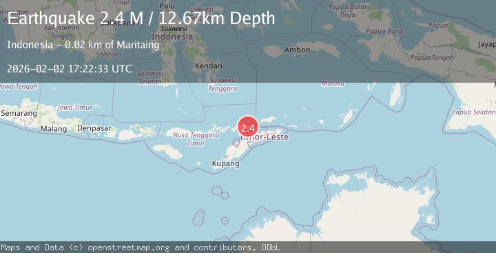
Earthquake Banda Sea
Mon, 02 Feb 2026 16:56:46 GMT
Time8 hours ago
Location
-7.9485, 124.3666
Depth
15.8 KM
Event Summary
A 2.1 magnitude earthquake struck on Banda Sea, at Mon, 02 Feb 2026 16:56:46 GMT. Depth: 15.772101km. Reviewed by BMKG seismologists, this minor quake occurred at a magnitude type of M.
Magnitude
2.1
M
Source
BMKG
Intensity
-
Agency Reports
1 Sources| Source | Magnitude | Depth | Time |
|---|---|---|---|
| BMKGPrimary | 2.1 | 16 km | 8 hours ago |
Earthquake Details
AutomaticEvent IDbmg2026chtq
Tsunami PotentialNo
Magnitude TypeM
Nearest Places
- Tanjung Artwoli24.0 km
- Tanjung Bhota24.1 km
- Maul Betung24.4 km
- Desa Alila24.6 km
- Tanjung Kokar24.7 km
Comments
Join the discussion about this event.
Latest Earthquakes
2.2Mag
Northern Sumatra, Indonesia
Time8 hours ago
Depth5.47 km
SourceBMKG (Automatic)
1.2Mag
13 km E of Mammoth Lakes, CA
Time8 hours ago
Depth7.64 km
SourceUSGS (Automatic)
1.8Mag
17 km S of Tres Pinos, CA
Time8 hours ago
Depth5.59 km
SourceUSGS (Automatic)
1.1Mag
28 km SSW of Ocotillo Wells, CA
Time8 hours ago
Depth8.27 km
SourceUSGS (Automatic)
2.3Mag
Flores Sea
Time8 hours ago
Depth14.92 km
SourceBMKG (Automatic)
Nearby Earthquakes
3.2Mag
KEPULAUAN ALOR, INDONESIA
Time1 week ago
Depth208.00 km
SourceBMKG (Automatic)
3.1Mag
Flores Region, Indonesia
Time1 week ago
Depth145.00 km
SourceBMKG (Automatic)
2.0Mag
Timor Region
Time1 week ago
Depth21.90 km
SourceBMKG (Automatic)
2.5Mag
Timor Region
Time2 days ago
Depth99.66 km
SourceBMKG (Automatic)
2.4Mag
Timor Region
Time6 days ago
Depth78.46 km
SourceBMKG (Automatic)