Earthquake Sumbawa Region, Indonesia
Mon, 02 Feb 2026 17:59:47 GMT
Time2 hours ago
Location
-9.0470, 117.7666
Depth
96.7 KM
Event Summary
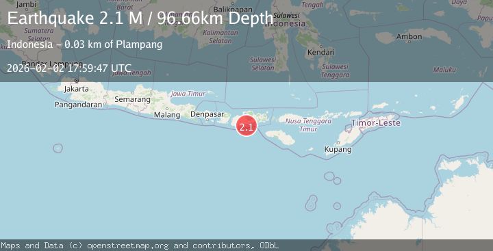
A 2.1 magnitude earthquake struck on Sumbawa Region, Indonesia, at Mon, 02 Feb 2026 17:59:47 GMT. Depth: 96.664734km. Reviewed by BMKG seismologists, this minor quake occurred at a magnitude type of M.
Magnitude
2.1
M
Source
BMKG
Intensity
-
Agency Reports
1 Sources| Source | Magnitude | Depth | Time |
|---|---|---|---|
| BMKGPrimary | 2.1 | 97 km | 2 hours ago |
Earthquake Details
AutomaticEvent IDbmg2026chvs
Tsunami PotentialNo
Magnitude TypeM
Nearest Places
- Tanjung Liangdewa12.6 km
- Tanjung Liangsukar13.3 km
- Brang Labangka14.4 km
- Teluk Panas14.9 km
- Brang Matageluni15.0 km
Comments
Join the discussion about this event.
Latest Earthquakes
2.0Mag
9 km NE of Coso Junction, CA
Time2 hours ago
Depth2.78 km
SourceUSGS (Automatic)
1.4Mag
NORTHERN ITALY
Time2 hours ago
Depth2.60 km
SourceETHZ (Automatic)
1.1Mag
10 km NW of The Geysers, CA
Time2 hours ago
Depth2.23 km
SourceUSGS (Automatic)
2.0Mag
Timor Region
Time2 hours ago
Depth32.99 km
SourceBMKG (Automatic)
2.9Mag
West Papua, Indonesia
Time2 hours ago
Depth10.00 km
SourceBMKG (Automatic)
Nearby Earthquakes
2.2Mag
Sumbawa Region, Indonesia
Time1 week ago
Depth10.00 km
SourceBMKG (Automatic)
3.8Mag
Sumbawa Region, Indonesia
Time1 week ago
Depth10.83 km
SourceBMKG (Automatic)
2.7Mag
Sumbawa Region, Indonesia
Time1 week ago
Depth10.00 km
SourceBMKG (Automatic)
2.1Mag
Sumbawa Region, Indonesia
Time1 week ago
Depth10.00 km
SourceBMKG (Automatic)
2.1Mag
Sumbawa Region, Indonesia
Time1 week ago
Depth116.53 km
SourceBMKG (Automatic)