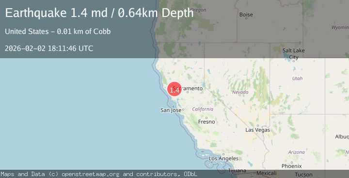
Earthquake 10 km NW of The Geysers, CA
Mon, 02 Feb 2026 17:47:12 GMT
Time2 hours ago
Location
38.8280, -122.8517
Depth
2.2 KM
Event Summary
A 1.4 magnitude earthquake struck on 10 km NW of The Geysers, CA, at Mon, 02 Feb 2026 17:47:12 GMT. Depth: 2.23000001907349km. Reviewed by USGS seismologists, this minor quake occurred at a magnitude type of md.
Magnitude
1.4
md
Source
USGS
Intensity
-
Agency Reports
1 Sources| Source | Magnitude | Depth | Time |
|---|---|---|---|
| USGSPrimary | 1.4 | 1 km | 2 hours ago |
Earthquake Details
AutomaticEvent IDusgs_nc75306051
Tsunami PotentialNo
Magnitude Typemd
Nearest Places
- Buckeye Mine0.8 km
- Hummingbird Creek1.3 km
- Wildhorse Creek1.5 km
- Alder Creek1.6 km
- Black Oaks1.7 km
Comments
Join the discussion about this event.
Latest Earthquakes
1.5Mag
13 km E of Pearsall, Texas
Time11 minutes ago
Depth8.04 km
SourceUSGS (Automatic)
3.0Mag
Southern Sumatra, Indonesia
Time14 minutes ago
Depth10.00 km
SourceBMKG (Automatic)
1.2Mag
24 km NE of Minto, Alaska
Time14 minutes ago
Depth6.60 km
SourceUSGS (Automatic)
1.5Mag
18 km NNE of Indio, CA
Time17 minutes ago
Depth3.26 km
SourceUSGS (Automatic)
1.2Mag
8 km SSW of Mojave, CA
Time18 minutes ago
Depth1.66 km
SourceUSGS (Automatic)
Nearby Earthquakes
1.5Mag
10 km NW of The Geysers, CA
Time20 hours ago
Depth2.45 km
SourceUSGS (Automatic)
2.2Mag
10 km WNW of The Geysers, CA
Time6 days ago
Depth1.35 km
SourceUSGS (Automatic)
0.8Mag
10 km WNW of The Geysers, CA
Time6 days ago
Depth2.37 km
SourceUSGS (Automatic)
0.8Mag
10 km WNW of The Geysers, CA
Time1 week ago
Depth1.49 km
SourceUSGS (Automatic)
1.5Mag
10 km WNW of The Geysers, CA
Time6 days ago
Depth2.37 km
SourceUSGS (Automatic)