Earthquake Sumbawa Region, Indonesia
Tue, 03 Feb 2026 00:13:08 GMT
Time2 hours ago
Location
-8.0783, 117.7077
Depth
10.0 KM
Event Summary
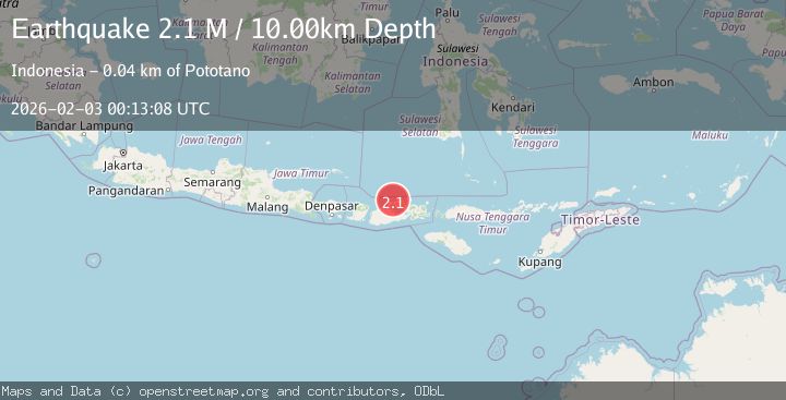
A 2.1 magnitude earthquake struck on Sumbawa Region, Indonesia, at Tue, 03 Feb 2026 00:13:08 GMT. Depth: 10km. Reviewed by BMKG seismologists, this minor quake occurred at a magnitude type of M.
Magnitude
2.1
M
Source
BMKG
Intensity
-
Agency Reports
1 Sources| Source | Magnitude | Depth | Time |
|---|---|---|---|
| BMKGPrimary | 2.1 | 10 km | 2 hours ago |
Earthquake Details
AutomaticEvent IDbmg2026ciia
Tsunami PotentialNo
Magnitude TypeM
Nearest Places
- Satonda Peak5.2 km
- Pulau Satonda5.5 km
- Ndano Satonda5.8 km
- Tanjung Branti8.1 km
- Teluk Sopanda8.1 km
Comments
Join the discussion about this event.
Latest Earthquakes
1.8Mag
4 km SE of San Ramon, CA
Time2 hours ago
Depth6.96 km
SourceUSGS (Automatic)
3.3Mag
Java, Indonesia
Time2 hours ago
Depth90.20 km
SourceBMKG (Automatic)
4.3Mag
TARAPACA, CHILE
Time2 hours ago
Depth54.00 km
SourceCSLC (Automatic)
1.8Mag
55 km E of Nabesna, Alaska
Time2 hours ago
Depth5.00 km
SourceUSGS (Automatic)
3.1Mag
Northern Molucca Sea
Time2 hours ago
Depth10.00 km
SourceBMKG (Automatic)
Nearby Earthquakes
3.1Mag
Sumbawa Region, Indonesia
Time1 day ago
Depth10.00 km
SourceBMKG (Automatic)
2.0Mag
Sumbawa Region, Indonesia
Time2 days ago
Depth24.75 km
SourceBMKG (Automatic)
2.0Mag
Sumbawa Region, Indonesia
Time2 days ago
Depth10.00 km
SourceBMKG (Automatic)
2.2Mag
Sumbawa Region, Indonesia
Time1 week ago
Depth10.00 km
SourceBMKG (Automatic)
2.5Mag
Sumbawa Region, Indonesia
Time2 days ago
Depth16.65 km
SourceBMKG (Automatic)