Earthquake Northern Molucca Sea
Mon, 02 Feb 2026 23:54:54 GMT
Time1 hour ago
Location
2.9204, 126.4265
Depth
10.0 KM
Event Summary
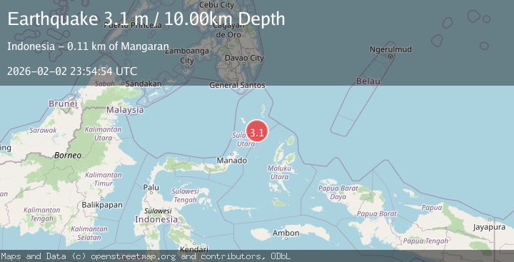
A 3.1 magnitude earthquake struck on Northern Molucca Sea, at Mon, 02 Feb 2026 23:54:54 GMT. Depth: 10km. Reviewed by BMKG seismologists, this minor quake occurred at a magnitude type of M.
Magnitude
3.1
M
Source
BMKG
Intensity
-
Agency Reports
1 Sources| Source | Magnitude | Depth | Time |
|---|---|---|---|
| BMKGPrimary | 3.1 | 10 km | 1 hour ago |
Earthquake Details
AutomaticEvent IDbmg2026cihl
Tsunami PotentialNo
Magnitude TypeM
Nearest Places
- Pulau Batupuntieng84.6 km
- Pulau Batukemba84.6 km
- Pulau Batuluha84.7 km
- Pulau Nenung85.0 km
- Pulau Batupaliaheng85.1 km
Comments
Join the discussion about this event.
Latest Earthquakes
1.5Mag
19 km NNE of Indio, CA
Time1 hour ago
Depth3.99 km
SourceUSGS (Automatic)
3.1Mag
SAN JUAN, ARGENTINA
Time2 hours ago
Depth118.00 km
SourceNSNA (Automatic)
2.3Mag
Sumbawa Region, Indonesia
Time2 hours ago
Depth13.16 km
SourceBMKG (Automatic)
2.6Mag
SOUTH OF JAVA, INDONESIA
Time2 hours ago
Depth12.00 km
SourceBMKG (Automatic)
2.2Mag
7 km S of Badger, Alaska
Time2 hours ago
Depth19.20 km
SourceUSGS (Automatic)
Nearby Earthquakes
3.0Mag
Northern Molucca Sea
Time1 day ago
Depth7.40 km
SourceBMKG (Automatic)
3.1Mag
Northern Molucca Sea
Time1 week ago
Depth61.58 km
SourceBMKG (Automatic)
3.5Mag
Northern Molucca Sea
Time1 week ago
Depth10.00 km
SourceBMKG (Automatic)
3.1Mag
Talaud Islands, Indonesia
Time10 hours ago
Depth20.17 km
SourceBMKG (Automatic)
3.1Mag
Talaud Islands, Indonesia
Time16 hours ago
Depth18.23 km
SourceBMKG (Automatic)