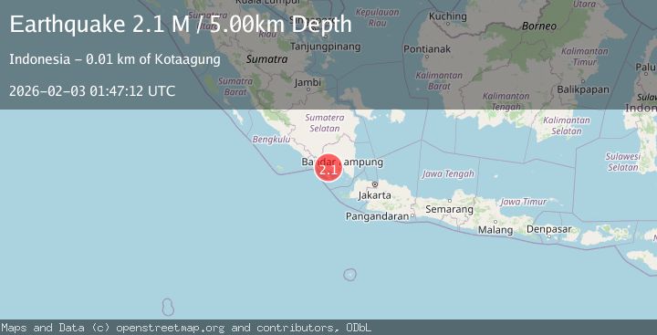
Earthquake Southern Sumatra, Indonesia
Tue, 03 Feb 2026 01:47:12 GMT
Time2 hours ago
Location
-5.3701, 104.6077
Depth
5.0 KM
Event Summary
A 2.1 magnitude earthquake struck on Southern Sumatra, Indonesia, at Tue, 03 Feb 2026 01:47:12 GMT. Depth: 5km. Reviewed by BMKG seismologists, this minor quake occurred at a magnitude type of M.
Magnitude
2.1
M
Source
BMKG
Intensity
-
Agency Reports
1 Sources| Source | Magnitude | Depth | Time |
|---|---|---|---|
| BMKGPrimary | 2.1 | 5 km | 2 hours ago |
Earthquake Details
AutomaticEvent IDbmg2026cild
Tsunami PotentialNo
Magnitude TypeM
Nearest Places
- Desa Datarajan1.9 km
- Terabasan2.4 km
- Kabupaten Tanggamus2.4 km
- Gunung Kabawok2.6 km
- Wai Ulubelu2.6 km
Comments
Join the discussion about this event.
Latest Earthquakes
2.7Mag
30 km NW of Valdez, Alaska
Time2 hours ago
Depth22.60 km
SourceUSGS (Automatic)
2.5Mag
ISLAND OF HAWAII, HAWAII
Time2 hours ago
Depth-0.20 km
SourceHV (Automatic)
2.5Mag
25 km E of Honaunau-Napoopoo, Hawaii
Time2 hours ago
Depth-0.20 km
SourceUSGS (Automatic)
2.8Mag
39 km ESE of Denali National Park, Alaska
Time2 hours ago
Depth2.40 km
SourceUSGS (Automatic)
2.5Mag
Java, Indonesia
Time2 hours ago
Depth32.31 km
SourceBMKG (Automatic)
Nearby Earthquakes
2.0Mag
Southern Sumatra, Indonesia
Time4 days ago
Depth10.00 km
SourceBMKG (Automatic)
3.8Mag
Southern Sumatra, Indonesia
Time6 hours ago
Depth10.00 km
SourceBMKG (Automatic)
2.1Mag
Southern Sumatra, Indonesia
Time3 hours ago
Depth15.65 km
SourceBMKG (Automatic)
2.5Mag
Southern Sumatra, Indonesia
Time6 days ago
Depth10.48 km
SourceBMKG (Automatic)
3.0Mag
Southern Sumatra, Indonesia
Time1 day ago
Depth5.00 km
SourceBMKG (Automatic)