Earthquake Sumbawa Region, Indonesia
Wed, 04 Feb 2026 03:54:39 GMT
Time10 hours ago
Location
-9.4339, 117.0573
Depth
35.0 KM
Event Summary
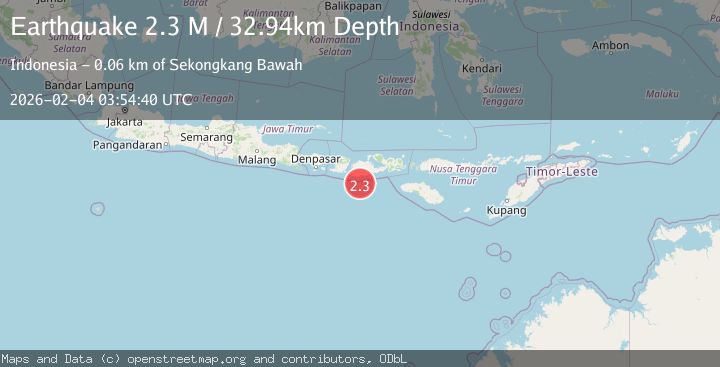
A 2.1 magnitude earthquake struck on Sumbawa Region, Indonesia, at Wed, 04 Feb 2026 03:54:39 GMT. Depth: 34.989052km. Reviewed by BMKG seismologists, this minor quake occurred at a magnitude type of M.
Magnitude
2.1
M
Source
BMKG
Intensity
-
Agency Reports
1 Sources| Source | Magnitude | Depth | Time |
|---|---|---|---|
| BMKGPrimary | 2.1 | 35 km | 10 hours ago |
Earthquake Details
AutomaticEvent IDbmg2026ckkv
Tsunami PotentialNo
Magnitude TypeM
Nearest Places
- Tanjung Talonan35.4 km
- Tanu Tanjunglilin36.6 km
- Tanjung Moneh37.9 km
- Batu Lawang38.9 km
- Sungai Talonan39.2 km
Comments
Join the discussion about this event.
Latest Earthquakes
2.6Mag
South of Java, Indonesia
Time10 hours ago
Depth5.00 km
SourceBMKG (Automatic)
2.2Mag
14 km N of Fishhook, Alaska
Time11 hours ago
Depth5.20 km
SourceUSGS (Automatic)
3.1Mag
48 km N of Valdez, Alaska
Time11 hours ago
Depth19.70 km
SourceUSGS (Automatic)
3.0Mag
Sulawesi, Indonesia
Time11 hours ago
Depth2.85 km
SourceBMKG (Automatic)
1.7Mag
21 km NNE of Indio, CA
Time11 hours ago
Depth2.85 km
SourceUSGS (Automatic)
Nearby Earthquakes
2.2Mag
Sumbawa Region, Indonesia
Time3 days ago
Depth37.93 km
SourceBMKG (Automatic)
2.7Mag
Sumbawa Region, Indonesia
Time3 days ago
Depth31.81 km
SourceBMKG (Automatic)
2.5Mag
Sumbawa Region, Indonesia
Time4 days ago
Depth26.99 km
SourceBMKG (Automatic)
2.7Mag
Sumbawa Region, Indonesia
Time1 day ago
Depth31.91 km
SourceBMKG (Automatic)
2.3Mag
Sumbawa Region, Indonesia
Time3 days ago
Depth40.80 km
SourceBMKG (Automatic)