Earthquake Sumbawa Region, Indonesia
Tue, 03 Feb 2026 09:00:25 GMT
Time1 day ago
Location
-9.4191, 117.0956
Depth
31.9 KM
Event Summary
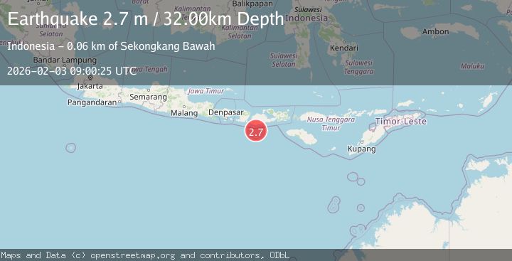
A 2.7 magnitude earthquake struck on Sumbawa Region, Indonesia, at Tue, 03 Feb 2026 09:00:25 GMT. Depth: 31.912607km. Reviewed by BMKG seismologists, this minor quake occurred at a magnitude type of M.
Magnitude
2.7
M
Source
BMKG
Intensity
-
Agency Reports
1 Sources| Source | Magnitude | Depth | Time |
|---|---|---|---|
| BMKGPrimary | 2.7 | 32 km | 1 day ago |
Earthquake Details
AutomaticEvent IDbmg2026cizl
Tsunami PotentialNo
Magnitude TypeM
Nearest Places
- Tanjung Talonan34.3 km
- Tanu Tanjunglilin35.3 km
- Tanjung Sarang Ode37.2 km
- Tanjung Moneh37.3 km
- Tanjung Batubongkang37.6 km
Comments
Join the discussion about this event.
Latest Earthquakes
1.8Mag
10 km ESE of Pearsall, Texas
Time7 minutes ago
Depth9.85 km
SourceUSGS (Automatic)
2.7Mag
NORTHERN ITALY
Time16 minutes ago
Depth9.00 km
SourceEMSC (Automatic)
2.3Mag
Minahassa Peninsula, Sulawesi
Time20 minutes ago
Depth80.65 km
SourceBMKG (Automatic)
1.4Mag
EASTERN TURKEY
Time26 minutes ago
Depth10.30 km
SourceAFAD (Automatic)
3.4Mag
TARAPACA, CHILE
Time26 minutes ago
Depth47.20 km
SourceCSN (Automatic)
Nearby Earthquakes
2.2Mag
Sumbawa Region, Indonesia
Time3 hours ago
Depth31.41 km
SourceBMKG (Automatic)
2.5Mag
Sumbawa Region, Indonesia
Time4 days ago
Depth26.99 km
SourceBMKG (Automatic)
2.2Mag
Sumbawa Region, Indonesia
Time3 days ago
Depth37.93 km
SourceBMKG (Automatic)
2.7Mag
Sumbawa Region, Indonesia
Time3 days ago
Depth31.81 km
SourceBMKG (Automatic)
2.7Mag
Sumbawa Region, Indonesia
Time11 hours ago
Depth31.43 km
SourceBMKG (Automatic)