Earthquake Northern Sumatra, Indonesia
Wed, 04 Feb 2026 20:20:37 GMT
Time1 hour ago
Location
2.6471, 97.9286
Depth
64.6 KM
Event Summary
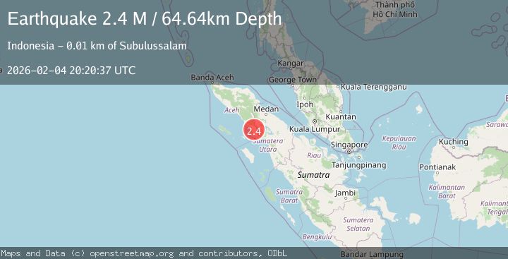
A 2.4 magnitude earthquake struck on Northern Sumatra, Indonesia, at Wed, 04 Feb 2026 20:20:37 GMT. Depth: 64.642525km. Reviewed by BMKG seismologists, this minor quake occurred at a magnitude type of M.
Magnitude
2.4
M
Source
BMKG
Intensity
-
Agency Reports
1 Sources| Source | Magnitude | Depth | Time |
|---|---|---|---|
| BMKGPrimary | 2.4 | 65 km | 1 hour ago |
Earthquake Details
AutomaticEvent IDbmg2026clrj
Tsunami PotentialNo
Magnitude TypeM
Nearest Places
- Gampong Badar0.6 km
- Lae Sikeranang0.8 km
- Kampung Badar1.7 km
- Lae Ikan2.2 km
- Gampong Harapan Baru2.4 km
Comments
Join the discussion about this event.
Latest Earthquakes
3.0Mag
PHILIPPINE ISLANDS REGION
Time1 hour ago
Depth32.00 km
SourcePIVS (Automatic)
2.1Mag
SICILY, ITALY
Time2 hours ago
Depth8.80 km
SourceINGV (Automatic)
1.6Mag
WESTERN TURKEY
Time2 hours ago
Depth7.00 km
SourceAFAD (Automatic)
1.5Mag
CENTRAL TURKEY
Time2 hours ago
Depth9.60 km
SourceEMSC (Automatic)
1.3Mag
16 km NW of Midland, Texas
Time2 hours ago
Depth6.31 km
SourceUSGS (Automatic)
Nearby Earthquakes
2.5Mag
NORTHERN SUMATRA, INDONESIA
Time6 hours ago
Depth144.00 km
SourceBMKG (Automatic)
2.1Mag
Northern Sumatra, Indonesia
Time1 week ago
Depth12.54 km
SourceBMKG (Automatic)
2.1Mag
Northern Sumatra, Indonesia
Time5 days ago
Depth3.24 km
SourceBMKG (Automatic)
2.5Mag
Northern Sumatra, Indonesia
Time1 week ago
Depth4.40 km
SourceBMKG (Automatic)
2.7Mag
Northern Sumatra, Indonesia
Time2 weeks ago
Depth8.59 km
SourceBMKG (Automatic)