Earthquake NORTHERN SUMATRA, INDONESIA
Wed, 04 Feb 2026 15:16:54 GMT
Time3 hours ago
Location
2.6800, 98.2400
Depth
144.0 KM
Event Summary
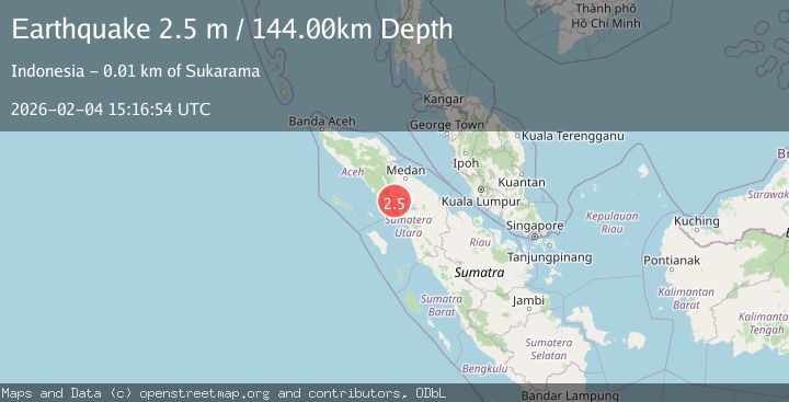
A 2.5 magnitude earthquake struck on NORTHERN SUMATRA, INDONESIA, at Wed, 04 Feb 2026 15:16:54 GMT. Depth: 144km. Reviewed by BMKG seismologists, this minor quake occurred at a magnitude type of m.
Magnitude
2.5
m
Source
BMKG
Intensity
-
Agency Reports
1 Sources| Source | Magnitude | Depth | Time |
|---|---|---|---|
| BMKGPrimary | 2.5 | 144 km | 3 hours ago |
Earthquake Details
AutomaticEvent IDemsc_BMKG_20260204_0000202
Tsunami PotentialNo
Magnitude Typem
Nearest Places
- Gonting1.2 km
- Desa Perolihen1.6 km
- Lae Leam1.6 km
- Batualah1.7 km
- Liangbosi2.3 km
Comments
Join the discussion about this event.
Latest Earthquakes
4.6Mag
46 km NW of Beluga, Alaska
Time3 hours ago
Depth99.70 km
SourceUSGS (Automatic)
1.4Mag
9 km E of Alum Rock, CA
Time3 hours ago
Depth-0.45 km
SourceUSGS (Automatic)
2.2Mag
Northern Sumatra, Indonesia
Time3 hours ago
Depth24.31 km
SourceBMKG (Automatic)
2.4Mag
Java, Indonesia
Time3 hours ago
Depth51.87 km
SourceBMKG (Automatic)
2.1Mag
Southern Sumatra, Indonesia
Time3 hours ago
Depth3.99 km
SourceBMKG (Automatic)
Nearby Earthquakes
2.1Mag
Northern Sumatra, Indonesia
Time1 week ago
Depth12.54 km
SourceBMKG (Automatic)
2.1Mag
Northern Sumatra, Indonesia
Time5 days ago
Depth3.24 km
SourceBMKG (Automatic)
2.5Mag
Northern Sumatra, Indonesia
Time1 week ago
Depth4.40 km
SourceBMKG (Automatic)
2.2Mag
Northern Sumatra, Indonesia
Time6 days ago
Depth11.65 km
SourceBMKG (Automatic)
2.7Mag
Northern Sumatra, Indonesia
Time2 weeks ago
Depth8.59 km
SourceBMKG (Automatic)