Earthquake Bali Region, Indonesia
Fri, 06 Feb 2026 04:51:43 GMT
Time1 hour ago
Location
-8.6956, 115.4213
Depth
94.3 KM
Event Summary
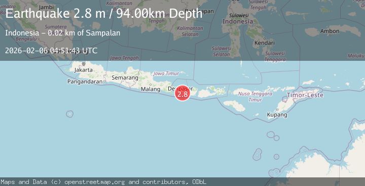
A 2.8 magnitude earthquake struck on Bali Region, Indonesia, at Fri, 06 Feb 2026 04:51:43 GMT. Depth: 94.279503km. Reviewed by BMKG seismologists, this minor quake occurred at a magnitude type of M.
Magnitude
2.8
M
Source
BMKG
Intensity
-
Agency Reports
1 Sources| Source | Magnitude | Depth | Time |
|---|---|---|---|
| BMKGPrimary | 2.8 | 94 km | 1 hour ago |
Earthquake Details
AutomaticEvent IDbmg2026codt
Tsunami PotentialNo
Magnitude TypeM
Nearest Places
- Tanjung Penguntolan1.0 km
- Teluk Penyuntalan1.1 km
- Tanjung Pemalikan1.1 km
- Teluk Pemalikan1.1 km
- Tanjung Batutalenan1.1 km
Comments
Join the discussion about this event.
Latest Earthquakes
0.4Mag
9 km SSE of Parkfield, CA
Time4 minutes ago
Depth-0.11 km
SourceUSGS (Automatic)
2.6Mag
Sumbawa Region, Indonesia
Time6 minutes ago
Depth14.20 km
SourceBMKG (Automatic)
2.4Mag
Java, Indonesia
Time14 minutes ago
Depth62.37 km
SourceBMKG (Automatic)
1.4Mag
EASTERN TURKEY
Time35 minutes ago
Depth6.00 km
SourceAFAD (Automatic)
1.7Mag
NORTHERN ITALY
Time37 minutes ago
Depth12.80 km
SourceETHZ (Automatic)
Nearby Earthquakes
2.4Mag
Bali Region, Indonesia
Time1 week ago
Depth110.29 km
SourceBMKG (Automatic)
2.2Mag
Bali Region, Indonesia
Time1 week ago
Depth84.98 km
SourceBMKG (Automatic)
3.5Mag
Bali Region, Indonesia
Time4 days ago
Depth8.96 km
SourceBMKG (Automatic)
2.6Mag
South of Bali, Indonesia
Time1 week ago
Depth158.81 km
SourceBMKG (Automatic)
2.5Mag
Bali Region, Indonesia
Time2 weeks ago
Depth90.70 km
SourceBMKG (Automatic)