Earthquake Southern Sumatra, Indonesia
Fri, 06 Feb 2026 04:53:47 GMT
Time1 hour ago
Location
-2.4052, 101.3150
Depth
67.0 KM
Event Summary
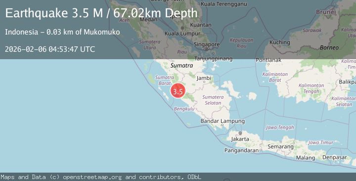
A 3.5 magnitude earthquake struck on Southern Sumatra, Indonesia, at Fri, 06 Feb 2026 04:53:47 GMT. Depth: 67.023781km. Reviewed by BMKG seismologists, this minor quake occurred at a magnitude type of M.
Magnitude
3.5
M
Source
BMKG
Intensity
-
Agency Reports
1 Sources| Source | Magnitude | Depth | Time |
|---|---|---|---|
| BMKGPrimary | 3.5 | 67 km | 1 hour ago |
Earthquake Details
AutomaticEvent IDbmg2026codv
Tsunami PotentialNo
Magnitude TypeM
Nearest Places
- Desa Lubuk Cabau2.1 km
- Lubukpauh2.6 km
- Sungai Tenang3.0 km
- Bukit Siling3.4 km
- Bukit Karang3.5 km
Comments
Join the discussion about this event.
Latest Earthquakes
0.4Mag
9 km SSE of Parkfield, CA
Time4 minutes ago
Depth-0.11 km
SourceUSGS (Automatic)
2.6Mag
Sumbawa Region, Indonesia
Time6 minutes ago
Depth14.20 km
SourceBMKG (Automatic)
2.4Mag
Java, Indonesia
Time14 minutes ago
Depth62.37 km
SourceBMKG (Automatic)
1.4Mag
EASTERN TURKEY
Time35 minutes ago
Depth6.00 km
SourceAFAD (Automatic)
1.7Mag
NORTHERN ITALY
Time37 minutes ago
Depth12.80 km
SourceETHZ (Automatic)
Nearby Earthquakes
2.9Mag
Southern Sumatra, Indonesia
Time1 week ago
Depth14.34 km
SourceBMKG (Automatic)
2.5Mag
Southern Sumatra, Indonesia
Time1 week ago
Depth15.39 km
SourceBMKG (Automatic)
3.7Mag
Southern Sumatra, Indonesia
Time5 days ago
Depth12.10 km
SourceBMKG (Automatic)
2.8Mag
Southern Sumatra, Indonesia
Time1 week ago
Depth29.81 km
SourceBMKG (Automatic)
3.8Mag
Southern Sumatra, Indonesia
Time2 weeks ago
Depth3.60 km
SourceBMKG (Automatic)