Earthquake West Papua Region, Indonesia
Fri, 06 Feb 2026 07:44:20 GMT
Time1 hour ago
Location
-2.6761, 136.6760
Depth
49.2 KM
Event Summary
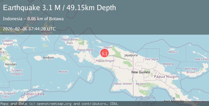
A 3.1 magnitude earthquake struck on West Papua Region, Indonesia, at Fri, 06 Feb 2026 07:44:20 GMT. Depth: 49.150421km. Reviewed by BMKG seismologists, this minor quake occurred at a magnitude type of M.
Magnitude
3.1
M
Source
BMKG
Intensity
-
Agency Reports
1 Sources| Source | Magnitude | Depth | Time |
|---|---|---|---|
| BMKGPrimary | 3.1 | 49 km | 1 hour ago |
Earthquake Details
AutomaticEvent IDbmg2026cojl
Tsunami PotentialNo
Magnitude TypeM
Nearest Places
- Kabupaten Waropen6.9 km
- Kampung Ghaiwando8.3 km
- Kampung Waghare12.3 km
- Kampung Ghaiwaru14.7 km
- Kampung Borumei15.6 km
Comments
Join the discussion about this event.
Latest Earthquakes
2.3Mag
52 km WNW of Happy Valley, Alaska
Time7 minutes ago
Depth93.60 km
SourceUSGS (Automatic)
3.3Mag
SAN LUIS, ARGENTINA
Time12 minutes ago
Depth128.00 km
SourceNSNA (Automatic)
1.2Mag
8 km SE of Gardendale, Texas
Time17 minutes ago
Depth7.01 km
SourceUSGS (Automatic)
1.2Mag
10 km SSW of Idyllwild, CA
Time25 minutes ago
Depth12.04 km
SourceUSGS (Automatic)
2.3Mag
16 km NE of Susitna, Alaska
Time28 minutes ago
Depth22.60 km
SourceUSGS (Automatic)
Nearby Earthquakes
2.8Mag
West Papua Region, Indonesia
Time1 week ago
Depth19.31 km
SourceBMKG (Automatic)
3.5Mag
West Papua, Indonesia
Time5 days ago
Depth10.00 km
SourceBMKG (Automatic)
2.5Mag
PAPUA, INDONESIA
Time1 week ago
Depth10.00 km
SourceBMKG (Automatic)
4.7Mag
West Papua, Indonesia
Time6 days ago
Depth81.32 km
SourceBMKG (Automatic)
4.2Mag
West Papua, Indonesia
Time1 week ago
Depth12.25 km
SourceBMKG (Automatic)