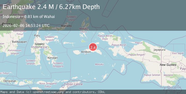
Earthquake Seram, Indonesia
Fri, 06 Feb 2026 14:53:24 GMT
Time1 hour ago
Location
-2.5161, 129.4086
Depth
6.3 KM
Event Summary
A 2.4 magnitude earthquake struck on Seram, Indonesia, at Fri, 06 Feb 2026 14:53:24 GMT. Depth: 6.271825km. Reviewed by BMKG seismologists, this minor quake occurred at a magnitude type of M.
Magnitude
2.4
M
Source
BMKG
Intensity
-
Agency Reports
1 Sources| Source | Magnitude | Depth | Time |
|---|---|---|---|
| BMKGPrimary | 2.4 | 6 km | 1 hour ago |
Earthquake Details
AutomaticEvent IDbmg2026coxq
Tsunami PotentialNo
Magnitude TypeM
Nearest Places
- Ceram Trough15.0 km
- Desa Malaku31.7 km
- Teluk Wahai32.1 km
- Tanjung Hewal32.2 km
- Tanjung Pamali32.3 km
Comments
Join the discussion about this event.
Latest Earthquakes
2.4Mag
Banda Sea
Time3 minutes ago
Depth5.00 km
SourceBMKG (Automatic)
2.7Mag
Talaud Islands, Indonesia
Time4 minutes ago
Depth19.84 km
SourceBMKG (Automatic)
2.2Mag
Sumbawa Region, Indonesia
Time8 minutes ago
Depth13.36 km
SourceBMKG (Automatic)
2.4Mag
27 km ENE of Pedro Bay, Alaska
Time12 minutes ago
Depth153.80 km
SourceUSGS (Automatic)
2.2Mag
Near North Coast of West Papua
Time12 minutes ago
Depth10.00 km
SourceBMKG (Automatic)
Nearby Earthquakes
3.2Mag
Seram, Indonesia
Time1 week ago
Depth6.49 km
SourceBMKG (Automatic)
2.3Mag
Seram, Indonesia
Time1 day ago
Depth10.00 km
SourceBMKG (Automatic)
2.8Mag
Seram, Indonesia
Time1 week ago
Depth10.00 km
SourceBMKG (Automatic)
3.4Mag
Seram, Indonesia
Time5 days ago
Depth10.00 km
SourceBMKG (Automatic)
2.6Mag
Seram, Indonesia
Time1 week ago
Depth2.62 km
SourceBMKG (Automatic)