Earthquake Sumba Region, Indonesia
Sat, 07 Feb 2026 08:33:25 GMT
Time1 hour ago
Location
-9.8180, 120.5232
Depth
14.9 KM
Event Summary
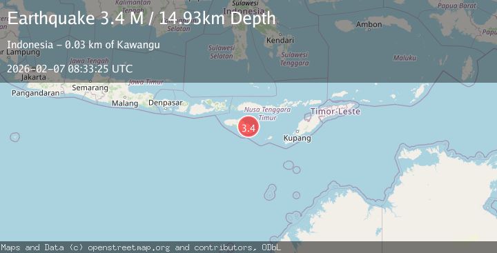
A 3.4 magnitude earthquake struck on Sumba Region, Indonesia, at Sat, 07 Feb 2026 08:33:25 GMT. Depth: 14.932058km. Reviewed by BMKG seismologists, this minor quake occurred at a magnitude type of M.
Magnitude
3.4
M
Source
BMKG
Intensity
-
Agency Reports
1 Sources| Source | Magnitude | Depth | Time |
|---|---|---|---|
| BMKGPrimary | 3.4 | 15 km | 1 hour ago |
Earthquake Details
AutomaticEvent IDbmg2026cqgo
Tsunami PotentialNo
Magnitude TypeM
Nearest Places
- Ramuk Karipi0.8 km
- Palindi Rumbu1.5 km
- Rumbu1.7 km
- Luku Kawallu2.5 km
- Luku Kataka3.0 km
Comments
Join the discussion about this event.
Latest Earthquakes
3.4Mag
CENTRAL ALASKA
Time6 minutes ago
Depth131.20 km
SourceAK (Automatic)
3.0Mag
OFFSHORE VALPARAISO, CHILE
Time13 minutes ago
Depth10.00 km
SourceCSN (Automatic)
2.8Mag
Borneo
Time17 minutes ago
Depth4.69 km
SourceBMKG (Automatic)
1.5Mag
22 km ENE of San Lucas, CA
Time19 minutes ago
Depth5.20 km
SourceUSGS (Automatic)
2.5Mag
72 km SE of Kokhanok, Alaska
Time23 minutes ago
Depth113.70 km
SourceUSGS (Automatic)
Nearby Earthquakes
2.2Mag
Sumba Region, Indonesia
Time2 weeks ago
Depth6.25 km
SourceBMKG (Automatic)
2.1Mag
Sumba Region, Indonesia
Time1 week ago
Depth24.50 km
SourceBMKG (Automatic)
2.3Mag
Sumba Region, Indonesia
Time1 week ago
Depth57.08 km
SourceBMKG (Automatic)
2.2Mag
Sumba Region, Indonesia
Time1 week ago
Depth18.61 km
SourceBMKG (Automatic)
2.4Mag
Sumba Region, Indonesia
Time4 hours ago
Depth57.80 km
SourceBMKG (Automatic)