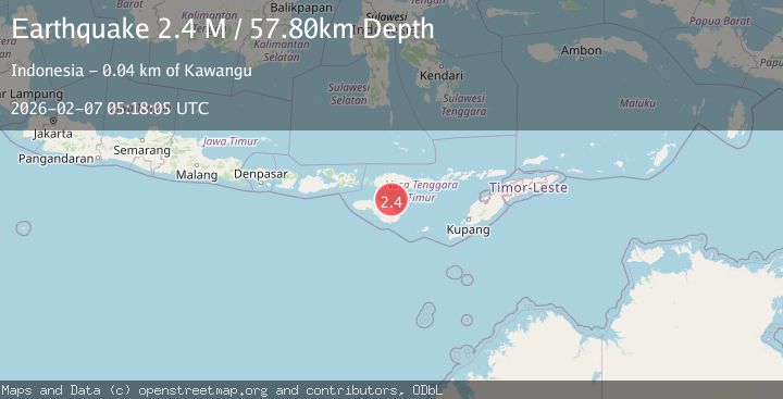
Earthquake Sumba Region, Indonesia
Sat, 07 Feb 2026 05:18:05 GMT
Time1 hour ago
Location
-9.3484, 120.5260
Depth
57.8 KM
Event Summary
A 2.4 magnitude earthquake struck on Sumba Region, Indonesia, at Sat, 07 Feb 2026 05:18:05 GMT. Depth: 57.800381km. Reviewed by BMKG seismologists, this minor quake occurred at a magnitude type of M.
Magnitude
2.4
M
Source
BMKG
Intensity
-
Agency Reports
1 Sources| Source | Magnitude | Depth | Time |
|---|---|---|---|
| BMKGPrimary | 2.4 | 58 km | 1 hour ago |
Earthquake Details
AutomaticEvent IDbmg2026cqac
Tsunami PotentialNo
Magnitude TypeM
Nearest Places
- Tanjung Batuata30.2 km
- Luku Hipokongu32.8 km
- Laipori Tiga33.1 km
- Walakeri Dua33.2 km
- Laipori Dua33.4 km
Comments
Join the discussion about this event.
Latest Earthquakes
1.0Mag
5 km S of Loyola, CA
Time10 minutes ago
Depth7.28 km
SourceUSGS (Automatic)
3.3Mag
SALTA, ARGENTINA
Time12 minutes ago
Depth232.50 km
SourceCSN (Automatic)
2.5Mag
Northern Sumatra, Indonesia
Time20 minutes ago
Depth5.00 km
SourceBMKG (Automatic)
2.2Mag
Northern Sumatra, Indonesia
Time21 minutes ago
Depth5.00 km
SourceBMKG (Automatic)
3.7Mag
NEAR EAST COAST OF HONSHU, JAPAN
Time25 minutes ago
Depth60.00 km
SourceJMA (Automatic)
Nearby Earthquakes
2.5Mag
Sumba Region, Indonesia
Time3 days ago
Depth61.17 km
SourceBMKG (Automatic)
2.3Mag
Sumba Region, Indonesia
Time1 week ago
Depth57.08 km
SourceBMKG (Automatic)
2.2Mag
Sumba Region, Indonesia
Time1 week ago
Depth63.49 km
SourceBMKG (Automatic)
2.3Mag
Sumba Region, Indonesia
Time4 hours ago
Depth49.56 km
SourceBMKG (Automatic)
3.1Mag
Sumba Region, Indonesia
Time1 week ago
Depth7.25 km
SourceBMKG (Automatic)