Earthquake Flores Sea
Sat, 07 Feb 2026 13:34:19 GMT
Time1 hour ago
Location
-7.8541, 118.5872
Depth
15.6 KM
Event Summary
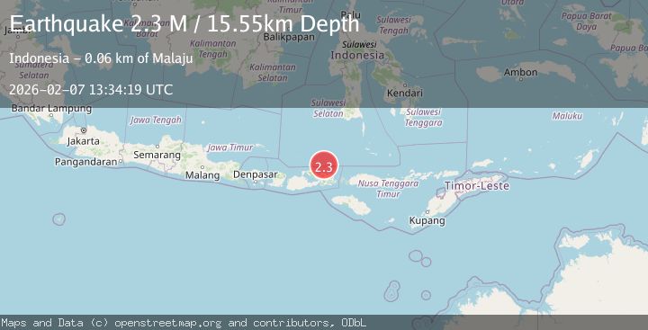
A 2.3 magnitude earthquake struck on Flores Sea, at Sat, 07 Feb 2026 13:34:19 GMT. Depth: 15.551324km. Reviewed by BMKG seismologists, this minor quake occurred at a magnitude type of M.
Magnitude
2.3
M
Source
BMKG
Intensity
-
Agency Reports
1 Sources| Source | Magnitude | Depth | Time |
|---|---|---|---|
| BMKGPrimary | 2.3 | 16 km | 1 hour ago |
Earthquake Details
AutomaticEvent IDbmg2026cqqm
Tsunami PotentialNo
Magnitude TypeM
Nearest Places
- Tanjung Batu Besar45.0 km
- Palangga45.5 km
- Sori Luwa45.7 km
- Sori Sampungu45.7 km
- Toro Niu45.7 km
Comments
Join the discussion about this event.
Latest Earthquakes
1.5Mag
EASTERN TURKEY
Time21 minutes ago
Depth7.20 km
SourceAFAD (Automatic)
0.8Mag
8 km NW of The Geysers, CA
Time24 minutes ago
Depth2.05 km
SourceUSGS (Automatic)
2.6Mag
Minahassa Peninsula, Sulawesi
Time28 minutes ago
Depth171.14 km
SourceBMKG (Automatic)
2.9Mag
EASTERN MEDITERRANEAN SEA
Time30 minutes ago
Depth53.20 km
SourceEMSC (Automatic)
3.3Mag
SAMAR, PHILIPPINES
Time30 minutes ago
Depth24.00 km
SourcePIVS (Automatic)
Nearby Earthquakes
2.5Mag
Flores Sea
Time1 week ago
Depth26.93 km
SourceBMKG (Automatic)
2.5Mag
Flores Sea
Time1 week ago
Depth38.21 km
SourceBMKG (Automatic)
2.4Mag
Flores Sea
Time1 day ago
Depth23.21 km
SourceBMKG (Automatic)
2.3Mag
Flores Sea
Time1 week ago
Depth17.26 km
SourceBMKG (Automatic)
2.3Mag
Flores Sea
Time6 days ago
Depth11.45 km
SourceBMKG (Automatic)