Earthquake Minahassa Peninsula, Sulawesi
Sat, 07 Feb 2026 14:27:20 GMT
Time1 hour ago
Location
0.2278, 122.2317
Depth
185.5 KM
Event Summary
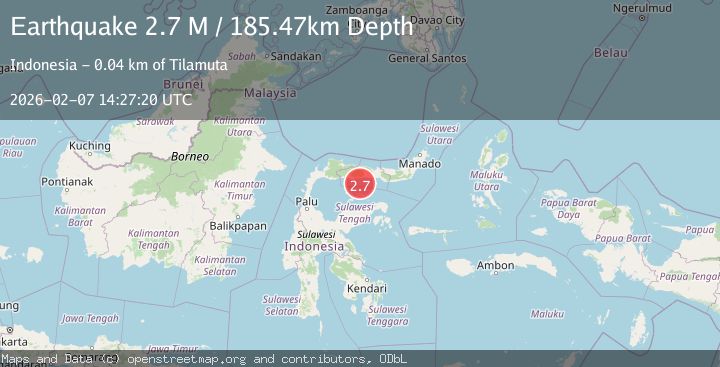
A 2.7 magnitude earthquake struck on Minahassa Peninsula, Sulawesi, at Sat, 07 Feb 2026 14:27:20 GMT. Depth: 185.473328km. Reviewed by BMKG seismologists, this minor quake occurred at a magnitude type of M.
Magnitude
2.7
M
Source
BMKG
Intensity
-
Agency Reports
1 Sources| Source | Magnitude | Depth | Time |
|---|---|---|---|
| BMKGPrimary | 2.7 | 185 km | 1 hour ago |
Earthquake Details
AutomaticEvent IDbmg2026cqsf
Tsunami PotentialNo
Magnitude TypeM
Nearest Places
- Pulau Montuli21.1 km
- Pulau Bitila23.0 km
- Pulau Telefoa24.4 km
- Wulungiyo Bulooliyo27.4 km
- Lito Molopinggulo27.6 km
Comments
Join the discussion about this event.
Latest Earthquakes
2.0Mag
ISLAND OF HAWAII, HAWAII
Time18 minutes ago
Depth0.40 km
SourceHV (Automatic)
2.7Mag
Java, Indonesia
Time23 minutes ago
Depth12.73 km
SourceBMKG (Automatic)
1.6Mag
40 km SSW of Skwentna, Alaska
Time24 minutes ago
Depth96.90 km
SourceUSGS (Automatic)
2.4Mag
Savu Sea
Time34 minutes ago
Depth20.43 km
SourceBMKG (Automatic)
2.1Mag
Flores Sea
Time37 minutes ago
Depth30.93 km
SourceBMKG (Automatic)
Nearby Earthquakes
2.4Mag
Minahassa Peninsula, Sulawesi
Time2 weeks ago
Depth149.71 km
SourceBMKG (Automatic)
2.4Mag
Minahassa Peninsula, Sulawesi
Time1 week ago
Depth63.62 km
SourceBMKG (Automatic)
2.4Mag
Minahassa Peninsula, Sulawesi
Time2 weeks ago
Depth60.37 km
SourceBMKG (Automatic)
2.3Mag
Minahassa Peninsula, Sulawesi
Time2 weeks ago
Depth154.22 km
SourceBMKG (Automatic)
2.3Mag
Minahassa Peninsula, Sulawesi
Time4 days ago
Depth50.17 km
SourceBMKG (Automatic)