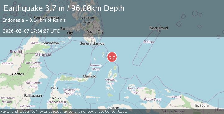
Earthquake North of Halmahera, Indonesia
Sat, 07 Feb 2026 17:34:07 GMT
Time1 hour ago
Location
3.8338, 128.0549
Depth
96.0 KM
Event Summary
A 3.7 magnitude earthquake struck on North of Halmahera, Indonesia, at Sat, 07 Feb 2026 17:34:07 GMT. Depth: 96.030075km. Reviewed by BMKG seismologists, this minor quake occurred at a magnitude type of M.
Magnitude
3.7
M
Source
BMKG
Intensity
-
Agency Reports
1 Sources| Source | Magnitude | Depth | Time |
|---|---|---|---|
| BMKGPrimary | 3.7 | 96 km | 1 hour ago |
Earthquake Details
AutomaticEvent IDbmg2026cqyk
Tsunami PotentialNo
Magnitude TypeM
Nearest Places
- Snellius Ridge19.5 km
- Talaud Trough73.2 km
- Pulau Karis85.5 km
- Morotai Basin92.9 km
- Pulau Kakorotan132.8 km
Comments
Join the discussion about this event.
Latest Earthquakes
2.9Mag
WESTERN TURKEY
Time11 minutes ago
Depth10.20 km
SourceAFAD (Automatic)
1.1Mag
6 km WNW of The Geysers, CA
Time12 minutes ago
Depth3.01 km
SourceUSGS (Automatic)
1.5Mag
20 km NNE of Indio, CA
Time15 minutes ago
Depth2.16 km
SourceUSGS (Automatic)
2.6Mag
Northern Sumatra, Indonesia
Time21 minutes ago
Depth4.12 km
SourceBMKG (Automatic)
1.7Mag
41 km W of Anchor Point, Alaska
Time22 minutes ago
Depth94.30 km
SourceUSGS (Automatic)
Nearby Earthquakes
3.5Mag
Talaud Islands, Indonesia
Time2 weeks ago
Depth18.12 km
SourceBMKG (Automatic)
3.5Mag
Talaud Islands, Indonesia
Time1 week ago
Depth10.00 km
SourceBMKG (Automatic)
3.9Mag
Talaud Islands, Indonesia
Time1 day ago
Depth10.00 km
SourceBMKG (Automatic)
4.1Mag
North of Halmahera, Indonesia
Time1 week ago
Depth5.50 km
SourceBMKG (Automatic)
3.7Mag
Talaud Islands, Indonesia
Time1 week ago
Depth129.80 km
SourceBMKG (Automatic)