Earthquake Northern Sumatra, Indonesia
Sat, 07 Feb 2026 18:32:05 GMT
Time1 hour ago
Location
0.4739, 98.6954
Depth
4.1 KM
Event Summary
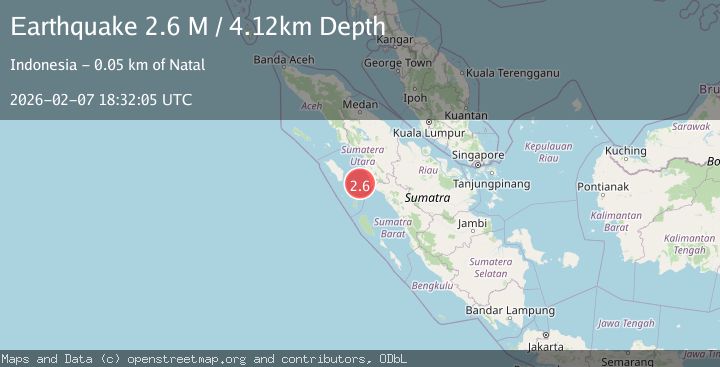
A 2.6 magnitude earthquake struck on Northern Sumatra, Indonesia, at Sat, 07 Feb 2026 18:32:05 GMT. Depth: 4.123124km. Reviewed by BMKG seismologists, this minor quake occurred at a magnitude type of M.
Magnitude
2.6
M
Source
BMKG
Intensity
-
Agency Reports
1 Sources| Source | Magnitude | Depth | Time |
|---|---|---|---|
| BMKGPrimary | 2.6 | 4 km | 1 hour ago |
Earthquake Details
AutomaticEvent IDbmg2026crah
Tsunami PotentialNo
Magnitude TypeM
Nearest Places
- Tanjung Antimonang33.7 km
- Tanjung Batubatu33.9 km
- Tanjung Simanusu35.7 km
- Lambak36.2 km
- Tanjung Rapa-rapa37.7 km
Comments
Join the discussion about this event.
Latest Earthquakes
2.1Mag
ISLAND OF HAWAII, HAWAII
Time5 minutes ago
Depth18.10 km
SourceHV (Automatic)
2.7Mag
Flores Sea
Time9 minutes ago
Depth246.49 km
SourceBMKG (Automatic)
1.1Mag
EASTERN TURKEY
Time27 minutes ago
Depth7.00 km
SourceAFAD (Automatic)
3.3Mag
AZORES ISLANDS REGION
Time29 minutes ago
Depth5.00 km
SourcePDA (Automatic)
2.5Mag
Java, Indonesia
Time34 minutes ago
Depth28.48 km
SourceBMKG (Automatic)
Nearby Earthquakes
3.6Mag
Northern Sumatra, Indonesia
Time4 days ago
Depth16.81 km
SourceBMKG (Automatic)
2.9Mag
Northern Sumatra, Indonesia
Time1 week ago
Depth7.87 km
SourceBMKG (Automatic)
2.3Mag
Northern Sumatra, Indonesia
Time5 days ago
Depth35.32 km
SourceBMKG (Automatic)
2.6Mag
Northern Sumatra, Indonesia
Time2 weeks ago
Depth3.77 km
SourceBMKG (Automatic)
2.5Mag
Southern Sumatra, Indonesia
Time2 days ago
Depth14.57 km
SourceBMKG (Automatic)