Earthquake Bali Sea
Mon, 09 Feb 2026 06:38:27 GMT
Time1 hour ago
Location
-7.8933, 116.4015
Depth
10.9 KM
Event Summary
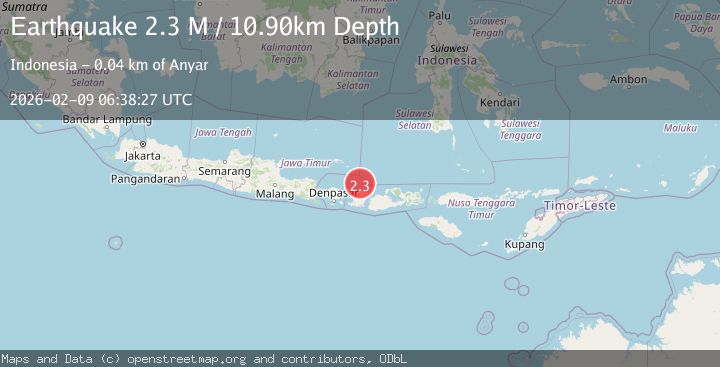
A 2.3 magnitude earthquake struck on Bali Sea, at Mon, 09 Feb 2026 06:38:27 GMT. Depth: 10.901264km. Reviewed by BMKG seismologists, this minor quake occurred at a magnitude type of M.
Magnitude
2.3
M
Source
BMKG
Intensity
-
Agency Reports
1 Sources| Source | Magnitude | Depth | Time |
|---|---|---|---|
| BMKGPrimary | 2.3 | 11 km | 1 hour ago |
Earthquake Details
AutomaticEvent IDbmg2026cttt
Tsunami PotentialNo
Magnitude TypeM
Nearest Places
- Tanjung Kolohtantang35.4 km
- Koloh Tantang35.5 km
- Koloh Sependok35.7 km
- Tanjung Aikmaling35.8 km
- Koloh Sintelik35.8 km
Comments
Join the discussion about this event.
Latest Earthquakes
2.8Mag
WESTERN TEXAS
Time1 hour ago
Depth3.80 km
SourceTX (Automatic)
0.5Mag
15 km WSW of Searles Valley, CA
Time1 hour ago
Depth3.89 km
SourceUSGS (Automatic)
2.7Mag
CRETE, GREECE
Time1 hour ago
Depth7.70 km
SourceNOA (Automatic)
3.6Mag
OFF W. COAST OF S. ISLAND, N.Z.
Time2 hours ago
Depth5.00 km
SourceGNS (Automatic)
2.0Mag
40 km SW of Skwentna, Alaska
Time2 hours ago
Depth109.00 km
SourceUSGS (Automatic)
Nearby Earthquakes
2.9Mag
Bali Sea
Time2 weeks ago
Depth15.74 km
SourceBMKG (Automatic)
2.6Mag
Sumbawa Region, Indonesia
Time1 week ago
Depth253.04 km
SourceBMKG (Automatic)
2.7Mag
Bali Sea
Time2 weeks ago
Depth10.00 km
SourceBMKG (Automatic)
2.3Mag
Sumbawa Region, Indonesia
Time1 week ago
Depth10.40 km
SourceBMKG (Automatic)
2.9Mag
Sumbawa Region, Indonesia
Time1 week ago
Depth10.30 km
SourceBMKG (Automatic)