Earthquake 40 km SW of Skwentna, Alaska
Mon, 09 Feb 2026 06:16:56 GMT
Time1 hour ago
Location
61.7830, -152.0270
Depth
109.0 KM
Event Summary
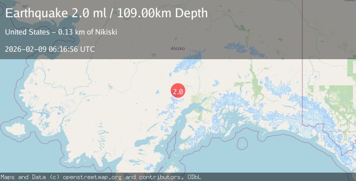
A 2.0 magnitude earthquake struck on 40 km SW of Skwentna, Alaska, at Mon, 09 Feb 2026 06:16:56 GMT. Depth: 109km. Reviewed by USGS seismologists, this minor quake occurred at a magnitude type of ml.
Magnitude
2.0
ml
Source
USGS
Intensity
-
Agency Reports
1 Sources| Source | Magnitude | Depth | Time |
|---|---|---|---|
| USGSPrimary | 2.0 | 109 km | 1 hour ago |
Earthquake Details
AutomaticEvent IDusgs_ak2026cubvbh
Tsunami PotentialNo
Magnitude Typeml
Nearest Places
- Trimble Glacier6.8 km
- Trimble River6.9 km
- Entrance Point8.3 km
- Hayes River Pass8.6 km
- Dickason Mountain10.6 km
Comments
Join the discussion about this event.
Latest Earthquakes
1.8Mag
7 km SSW of Pāhala, Hawaii
Time1 hour ago
Depth31.12 km
SourceUSGS (Automatic)
2.2Mag
Sumba Region, Indonesia
Time1 hour ago
Depth27.64 km
SourceBMKG (Automatic)
2.4Mag
Northern Sumatra, Indonesia
Time1 hour ago
Depth2.39 km
SourceBMKG (Automatic)
2.9Mag
Java, Indonesia
Time1 hour ago
Depth5.00 km
SourceBMKG (Automatic)
1.5Mag
PYRENEES
Time1 hour ago
Depth11.70 km
SourceIGN (Automatic)
Nearby Earthquakes
2.0Mag
39 km SSW of Skwentna, Alaska
Time2 days ago
Depth93.00 km
SourceUSGS (Automatic)
1.6Mag
40 km SSW of Skwentna, Alaska
Time1 day ago
Depth96.90 km
SourceUSGS (Automatic)
1.9Mag
50 km SSW of Skwentna, Alaska
Time3 days ago
Depth110.00 km
SourceUSGS (Automatic)
1.6Mag
46 km SSW of Skwentna, Alaska
Time3 days ago
Depth77.60 km
SourceUSGS (Automatic)
2.7Mag
27 km SSE of Skwentna, Alaska
Time2 weeks ago
Depth77.80 km
SourceUSGS (Automatic)