Earthquake 15 km WSW of Searles Valley, CA
Mon, 09 Feb 2026 06:28:03 GMT
Time1 hour ago
Location
35.7165, -117.5563
Depth
3.9 KM
Event Summary
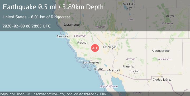
A 0.5 magnitude earthquake struck on 15 km WSW of Searles Valley, CA, at Mon, 09 Feb 2026 06:28:03 GMT. Depth: 3.89km. Reviewed by USGS seismologists, this minor quake occurred at a magnitude type of ml.
Magnitude
0.5
ml
Source
USGS
Intensity
-
Agency Reports
1 Sources| Source | Magnitude | Depth | Time |
|---|---|---|---|
| USGSPrimary | 0.5 | 4 km | 1 hour ago |
Earthquake Details
AutomaticEvent IDusgs_ci41394288
Tsunami PotentialNo
Magnitude Typeml
Nearest Places
- Trona Water Pipeline5.2 km
- China Lake5.3 km
- Skytop5.5 km
- Lark Seep6.3 km
- Lone Butte6.8 km
Comments
Join the discussion about this event.
Latest Earthquakes
1.6Mag
19 km N of Barstow, Texas
Time2 minutes ago
Depth16.13 km
SourceUSGS (Automatic)
1.9Mag
6 km SW of Volcano, Hawaii
Time5 minutes ago
Depth6.57 km
SourceUSGS (Automatic)
2.1Mag
WESTERN TURKEY
Time29 minutes ago
Depth10.10 km
SourceKOERI (Automatic)
3.7Mag
GREECE
Time35 minutes ago
Depth10.00 km
SourceNOA (Automatic)
2.2Mag
Sumbawa Region, Indonesia
Time35 minutes ago
Depth10.00 km
SourceBMKG (Automatic)
Nearby Earthquakes
1.7Mag
15 km WSW of Searles Valley, CA
Time2 weeks ago
Depth4.02 km
SourceUSGS (Automatic)
1.1Mag
14 km NE of Ridgecrest, CA
Time5 days ago
Depth7.20 km
SourceUSGS (Automatic)
1.4Mag
14 km NE of Ridgecrest, CA
Time1 week ago
Depth8.20 km
SourceUSGS (Automatic)
1.3Mag
Central California
Time2 weeks ago
Depth8.95 km
SourceUSGS (Automatic)
0.6Mag
13 km NE of Ridgecrest, CA
Time6 days ago
Depth6.91 km
SourceUSGS (Automatic)