Earthquake Flores Region, Indonesia
Tue, 10 Feb 2026 04:34:06 GMT
Time2 hours ago
Location
-8.3349, 121.7057
Depth
3.3 KM
Event Summary
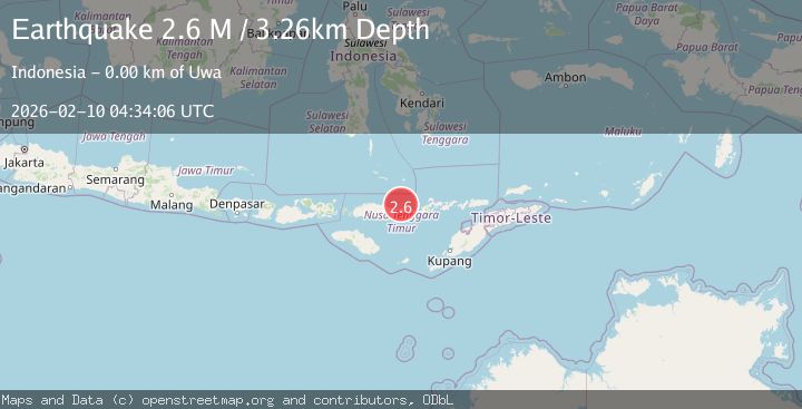
A 2.6 magnitude earthquake struck on Flores Region, Indonesia, at Tue, 10 Feb 2026 04:34:06 GMT. Depth: 3.264411km. Reviewed by BMKG seismologists, this minor quake occurred at a magnitude type of M.
Magnitude
2.6
M
Source
BMKG
Intensity
-
Agency Reports
1 Sources| Source | Magnitude | Depth | Time |
|---|---|---|---|
| BMKGPrimary | 2.6 | 3 km | 2 hours ago |
Earthquake Details
ManualEvent IDbmg2026cvle
Tsunami PotentialNo
Magnitude TypeM
Nearest Places
- Wolo Manunai0.1 km
- Mutu Rokatenda1.0 km
- Desa Nitunglea1.3 km
- Kecamatan Palue1.3 km
- Pulau Palu1.5 km
Comments
Join the discussion about this event.
Latest Earthquakes
3.5Mag
CRETE, GREECE
Time2 hours ago
Depth10.00 km
SourceNOA (Automatic)
1.0Mag
9 km SW of Avenal, CA
Time2 hours ago
Depth3.61 km
SourceUSGS (Automatic)
2.0Mag
25 km SW of Petersville, Alaska
Time2 hours ago
Depth79.70 km
SourceUSGS (Automatic)
3.6Mag
South of Java, Indonesia
Time2 hours ago
Depth5.00 km
SourceBMKG
2.8Mag
Minahassa Peninsula, Sulawesi
Time2 hours ago
Depth131.14 km
SourceBMKG
Nearby Earthquakes
3.1Mag
Flores Region, Indonesia
Time2 weeks ago
Depth1.78 km
SourceBMKG (Automatic)
2.3Mag
Flores Region, Indonesia
Time1 week ago
Depth17.19 km
SourceBMKG (Automatic)
2.7Mag
Flores Region, Indonesia
Time1 week ago
Depth8.74 km
SourceBMKG (Automatic)
2.0Mag
Flores Region, Indonesia
Time6 days ago
Depth10.00 km
SourceBMKG (Automatic)
2.4Mag
Flores Region, Indonesia
Time2 weeks ago
Depth21.00 km
SourceBMKG (Automatic)