Earthquake West Papua Region, Indonesia
Tue, 10 Feb 2026 22:31:57 GMT
Time1 week ago
Location
-3.6674, 135.5719
Depth
16.4 KM
Event Summary
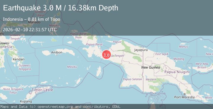
A 3.0 magnitude earthquake struck on West Papua Region, Indonesia, at Tue, 10 Feb 2026 22:31:57 GMT. Depth: 16.380188km. Reviewed by BMKG seismologists, this minor quake occurred at a magnitude type of M.
Magnitude
3.0
M
Source
BMKG
Intensity
-
Agency Reports
1 Sources| Source | Magnitude | Depth | Time |
|---|---|---|---|
| BMKGPrimary | 3.0 | 31 km | 1 week ago |
Earthquake Details
ManualEvent IDbmg2026cwus
Tsunami PotentialNo
Magnitude TypeM
Nearest Places
- Kampung Dikiya6.2 km
- Kampung Epouwa6.6 km
- Kampung Ogiyai9.8 km
- Kampung Gamei Jaya12.3 km
- Kabupaten Nabire14.3 km
Comments
Join the discussion about this event.
Latest Earthquakes
2.5Mag
Java, Indonesia
Time2 minutes ago
Depth76.49 km
SourceBMKG
1.9Mag
Tarapaca, Chile
Time7 minutes ago
Depth7.93 km
SourceVYT (Automatic)
2.4Mag
West Papua Region, Indonesia
Time8 minutes ago
Depth10.00 km
SourceBMKG
2.7Mag
Antofagasta, Chile
Time10 minutes ago
Depth0.00 km
SourceVYT (Automatic)
2.7Mag
Tarapaca, Chile
Time14 minutes ago
Depth10.50 km
SourceVYT (Automatic)
Nearby Earthquakes
2.5Mag
PAPUA, INDONESIA
Time3 weeks ago
Depth31.00 km
SourceBMKG (Automatic)
2.9Mag
PAPUA, INDONESIA
Time2 weeks ago
Depth25.00 km
SourceBMKG (Automatic)
2.4Mag
West Papua Region, Indonesia
Time0 months ago
Depth7.00 km
SourceBMKG (Automatic)
2.3Mag
West Papua Region, Indonesia
Time2 weeks ago
Depth14.18 km
SourceBMKG (Automatic)
4.0Mag
PAPUA, INDONESIA
Time7 years ago
Depth11.00 km
SourceDJA (Automatic)