Earthquake Bali Sea
Wed, 11 Feb 2026 00:53:59 GMT
Time1 week ago
Location
-7.8450, 117.3116
Depth
22.2 KM
Event Summary
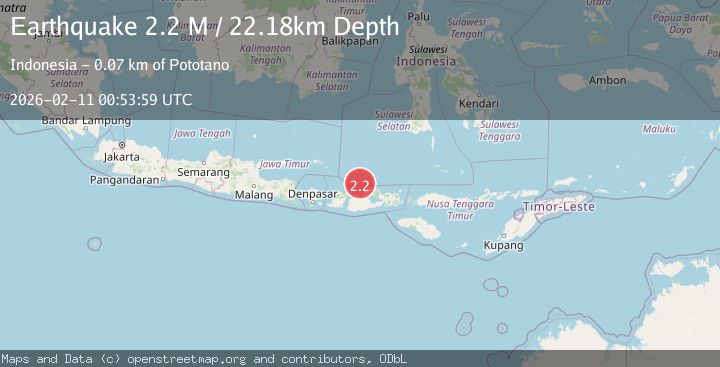
A 2.2 magnitude earthquake struck on Bali Sea, at Wed, 11 Feb 2026 00:53:59 GMT. Depth: 22.184349km. Reviewed by BMKG seismologists, this minor quake occurred at a magnitude type of M.
Magnitude
2.2
M
Source
BMKG
Intensity
-
Agency Reports
1 Sources| Source | Magnitude | Depth | Time |
|---|---|---|---|
| BMKGPrimary | 2.2 | 22 km | 1 week ago |
Earthquake Details
ManualEvent IDbmg2026cwzk
Tsunami PotentialNo
Magnitude TypeM
Nearest Places
- Gosong Sakunci13.2 km
- Pulau Sadapur14.3 km
- Gosong Sadapur22.4 km
- Karang Satengar28.8 km
- Pulau Sailus Kecil32.7 km
Comments
Join the discussion about this event.
Latest Earthquakes
2.5Mag
Java, Indonesia
Time4 minutes ago
Depth76.49 km
SourceBMKG
1.9Mag
Tarapaca, Chile
Time10 minutes ago
Depth7.93 km
SourceVYT (Automatic)
2.4Mag
West Papua Region, Indonesia
Time10 minutes ago
Depth10.00 km
SourceBMKG
2.7Mag
Antofagasta, Chile
Time12 minutes ago
Depth0.00 km
SourceVYT (Automatic)
2.7Mag
Tarapaca, Chile
Time17 minutes ago
Depth10.50 km
SourceVYT (Automatic)
Nearby Earthquakes
5.1Mag
BALI SEA
Time16 years ago
Depth290.00 km
SourceEMSC (Automatic)
2.2Mag
Bali Sea
Time3 days ago
Depth10.00 km
SourceBMKG
3.0Mag
BALI SEA
Time10 months ago
Depth297.00 km
SourceBMKG (Automatic)
2.2Mag
Bali Sea
Time2 weeks ago
Depth10.00 km
SourceBMKG (Automatic)
2.3Mag
Bali Sea
Time1 week ago
Depth17.94 km
SourceBMKG (Automatic)